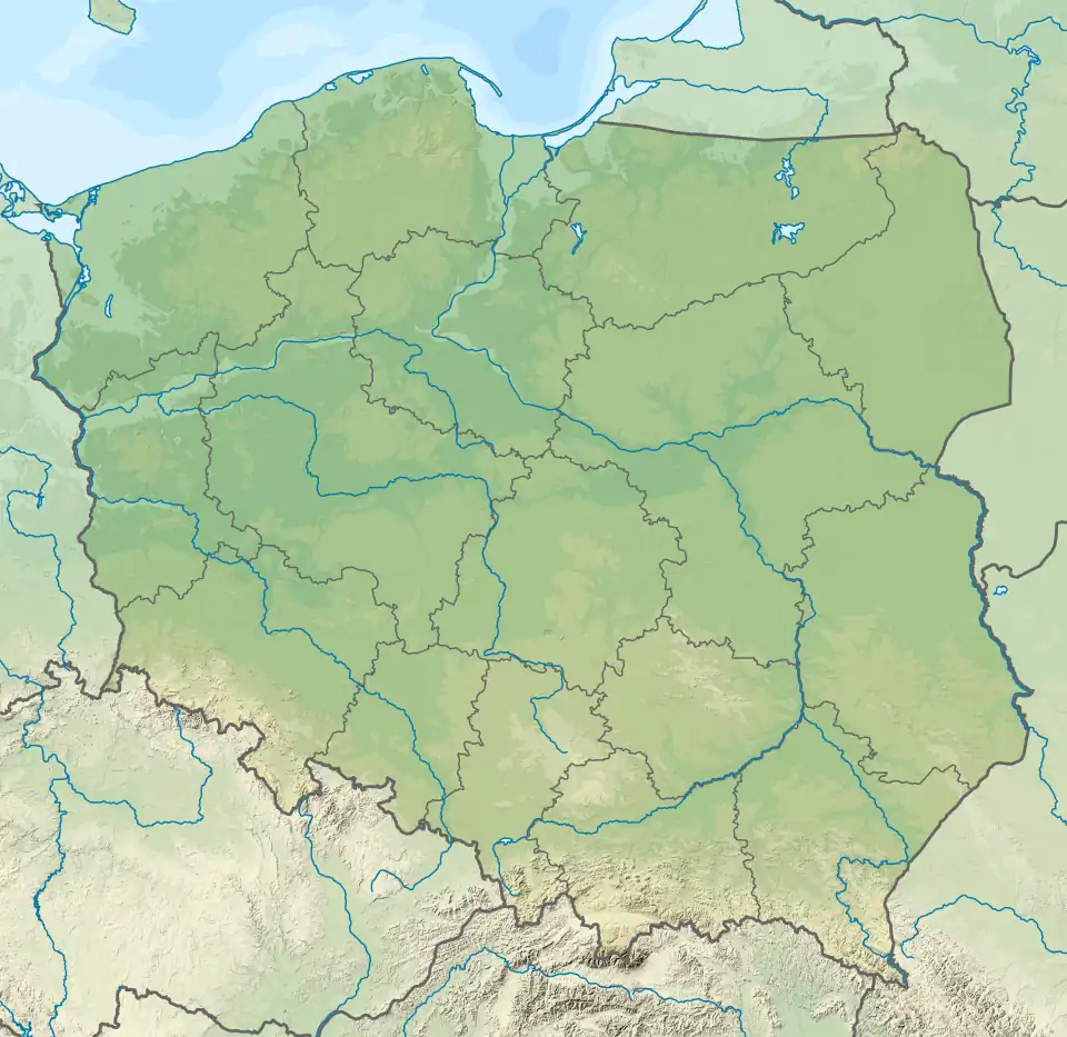
| Kozłowiecki forest Polish: Lasy Kozłowieckie | |
|---|---|
 | |
| Geography | |
| Location | Lubartów County, Lublin Voivodeship, Poland |
| Coordinates | 51°24′N 22°32′E / 51.400°N 22.533°E |
Kozłowiecki forest is a forest located in the Lubartów County,[1] Lublin Voivodeship in Poland, south of the town of Lubartów. It forms part of the Kozłowiecki Landscape Park.
References
- ↑ GUS. "Population. Size and structure and vital statistics in Poland by territorial division in 2019. As of 30th June". stat.gov.pl. Retrieved 2020-09-11.
This article is issued from Wikipedia. The text is licensed under Creative Commons - Attribution - Sharealike. Additional terms may apply for the media files.
