| Krafts Creek Tributary to Marshyhope Creek | |
|---|---|
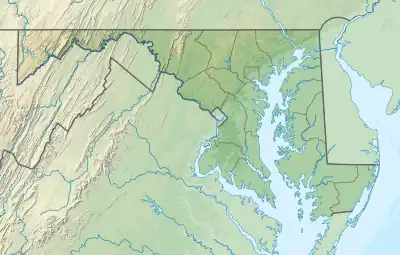 Location of Krafts Creek mouth  Krafts Creek (the United States) | |
| Location | |
| Country | United States |
| State | Maryland |
| County | Dorchester |
| Physical characteristics | |
| Source | This stream begins in a tidal area |
| • location | about 1.5 miles north-northwest of Walnut Landing, Maryland |
| • coordinates | 38°32′25.00″N 075°46′22.00″W / 38.5402778°N 75.7727778°W[1] |
| • elevation | 0 ft (0 m)[1] |
| Mouth | Marshyhope Creek |
• location | about 2 miles north-northwest of Walnut Landing, Maryland[1] |
• coordinates | 38°32′52.42″N 075°46′26.76″W / 38.5478944°N 75.7741000°W[1] |
• elevation | 0 ft (0 m)[1] |
| Length | 0.6 mi (0.97 km)[2] |
| Basin size | 0.31 square miles (0.80 km2)[3] |
| Discharge | |
| • location | Marshyhope Creek |
| • average | 0.33 cu ft/s (0.0093 m3/s) at mouth with Marshyhope Creek[3] |
| Basin features | |
| Progression | Marshyhope Creek → Nanticoke River → Chesapeake Bay → Atlantic Ocean |
| River system | Nanticoke River |
| Tributaries | |
| • left | unnamed tributaries |
| • right | unnamed tributaries |
| Bridges | none |
Krafts Creek is a 0.6 mi (0.97 km) long first-order tributary to Marshyhope Creek in Dorchester County, Maryland.
Course
Krafts Creek rises about 1.5 miles (2.4 km) north-northwest of Walnut Landing, Maryland in a tidal marsh and then flows north to join Marshyhope Creek about 2 miles (3.2 km) north-northwest of Walnut Landing, Maryland.[1]
Watershed
Krafts Creek drains 0.33 square miles (0.85 km2) of area, receives about 44.0 in/year [CONVERT] of precipitation, and is about 3.94% forested.[3]
See also
References
- 1 2 3 4 5 6 "Geographic Names Information System". edits.nationalmap.gov. US Geological Survey. Retrieved November 25, 2022.
- ↑ "ArcGIS Web Application". epa.maps.arcgis.com. US EPA. Retrieved November 25, 2022.
- 1 2 3 "Watershed Report | Office of Water | US EPA". watersgeo.epa.gov. US EPA. Retrieved November 25, 2022.
This article is issued from Wikipedia. The text is licensed under Creative Commons - Attribution - Sharealike. Additional terms may apply for the media files.