Kreminets
Кремінець | |
|---|---|
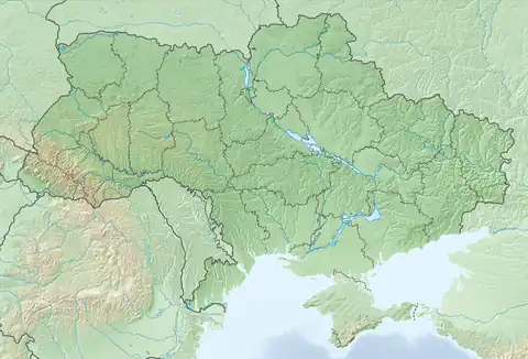
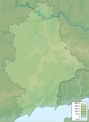
 Kreminets Location of Kreminets within Ukraine  Kreminets Kreminets (Donetsk Oblast) | |
| Coordinates: 47°54′51″N 37°37′13″E / 47.91417°N 37.62028°E | |
| Country | Ukraine |
| Province | Donetsk Oblast |
| District | Kalmiuske Raion |
| Elevation | 190 m (620 ft) |
| Population | |
| • Total | 338 |
| Time zone | UTC+2 (EET) |
| • Summer (DST) | UTC+3 (EEST) |
| Postal code | 85662 |
| Area code | +380 6278 |
Kreminets (Ukrainian: Кремінець; Russian: Кременец) is a village in Kalmiuske Raion (district) in Donetsk Oblast of eastern Ukraine, at 23.7 km WSW from the centre of Donetsk city. It belongs to Dokuchaievsk urban hromada, one of the hromadas of Ukraine.
Kreminets borders from north-east with the Petrovsky District of Donetsk city. Pro-Russian forces took the village under their control during the War in Donbas that started in mid-April 2014.
Demographics
Native language as of the Ukrainian Census of 2001:[1]
- Ukrainian 31.36%
- Russian 67.75%
- Belarusian 0.89%
References
- 1 2 "Офіційна сторінка Всеукраїнського перепису населення | Банк даних" [All-Ukrainian population census | Database]. ukrcensus.gov.ua (in Ukrainian). Retrieved 15 June 2023.
External links
This article is issued from Wikipedia. The text is licensed under Creative Commons - Attribution - Sharealike. Additional terms may apply for the media files.