Kuata | |
|---|---|
Island | |
 Hammock on the island of Kuata | |
 Kuata | |
| Coordinates: 17°22′19″S 177°08′10″E / 17.37194°S 177.13611°E | |
| Country | |
| Division | Western |
| Province | Ba Province |
| Area | |
| • Total | 1.48 km2 (0.57 sq mi) |
| Elevation | 3 m (10 ft) |
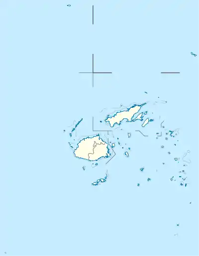
Kuata is an island of the Yasawa Group in Fiji's Ba Province. It is located about 41 kilometers off the coast of Viti Levu, at an average elevation of 10 meters above the sea level.[1]
References
- ↑ "Kuata Island topographic map, elevation, terrain". Topographic maps. Retrieved 7 September 2023.
Wikivoyage has a travel guide for Kuata.
This article is issued from Wikipedia. The text is licensed under Creative Commons - Attribution - Sharealike. Additional terms may apply for the media files.