Kumane
| |
|---|---|
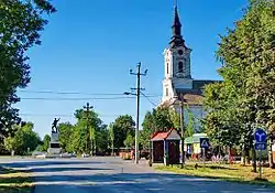 Main street and the Orthodox Church | |
 Coat of arms | |
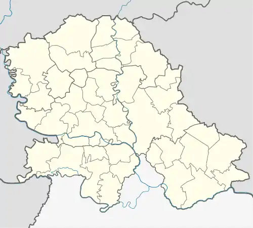 Kumane Location of Kumane within Serbia  Kumane Kumane (Serbia) 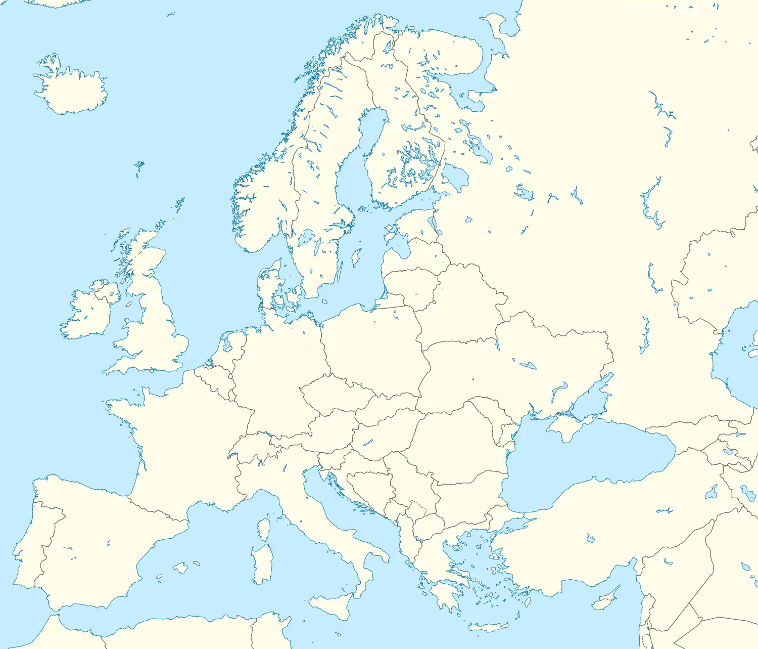 Kumane Kumane (Europe) | |
| Coordinates: 45°32′12″N 20°13′25″E / 45.53667°N 20.22361°E | |
| Country | Serbia |
| Province | Vojvodina |
| Elevation | 80 m (260 ft) |
| Population (2011) | |
| • Kumane | 3,284 |
| Time zone | UTC+1 (CET) |
| • Summer (DST) | UTC+2 (CEST) |
| Postal code | 23271 |
| Area code | +381(0)23 |
| Car plates | ZR |
Kumane (Serbian Cyrillic: Кумане) is a village located in the Novi Bečej municipality, in the Central Banat District of Serbia. It is situated in the Autonomous Province of Vojvodina. The village has a Serb ethnic majority (86.41%) and its population numbering 3,814 people (2002 census).
Name
In Serbian, the village is known as Kumane (Кумане), in Hungarian as Kumán, and in Croatian as Kumane.
Historical population
- 1961: 5,233
- 1971: 4,778
- 1981: 4,321
- 1991: 4,068
- 2002: 3,814
- 2011: 3,284
Notable residents
See also
References
- Slobodan Ćurčić, Broj stanovnika Vojvodine, Novi Sad, 1996.
Wikimedia Commons has media related to Kumane.
This article is issued from Wikipedia. The text is licensed under Creative Commons - Attribution - Sharealike. Additional terms may apply for the media files.