| Kuortaneenjärvi | |
|---|---|
 | |
 Kuortaneenjärvi | |
| Location | Kuortane, Finland |
| Coordinates | 62°49′N 023°27′E / 62.817°N 23.450°E |
| Primary inflows | Kuhajärvi |
| Primary outflows | Lapuanjoki |
| Catchment area | 1,266 km2 (489 sq mi) |
| Basin countries | Finland |
| Surface area | 14.88 km2 (5.75 sq mi) |
| Average depth | 3.34 m (11.0 ft) |
| Max. depth | 16.2 m (53 ft) |
| Water volume | 0.050 km3 (41,000 acre⋅ft) |
| Shore length1 | 33.8 km (21.0 mi) |
| Surface elevation | 75.50 m (247.7 ft) |
| Frozen | December-April |
| Islands | Honkisaari |
| References | [1] |
| 1 Shore length is not a well-defined measure. | |
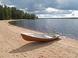
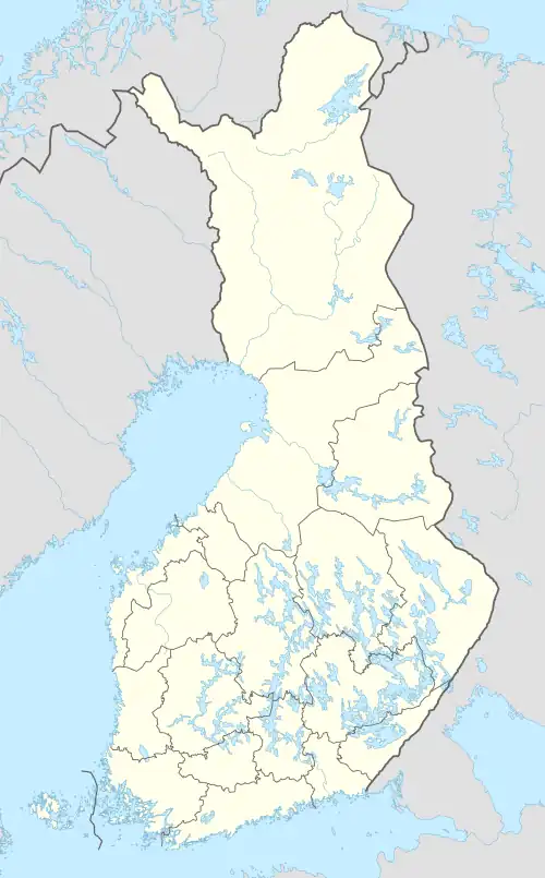
Kuortaneenjärvi is a medium-sized lake in the Lapuanjoki main catchment area. It is located in the Southern Ostrobothnia region in Kuortane, Finland.[1]
See also
References
- 1 2 Kuortaneenjärvi in the Jarviwiki Web Service. Retrieved 2014-03-09. (in English)
This article is issued from Wikipedia. The text is licensed under Creative Commons - Attribution - Sharealike. Additional terms may apply for the media files.