Kurtbey | |
|---|---|
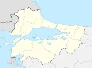
 Kurtbey Location in Turkey  Kurtbey Kurtbey (Marmara) | |
| Coordinates: 41°09′N 26°35′E / 41.150°N 26.583°E | |
| Country | Turkey |
| Province | Edirne |
| District | Uzunköprü |
| Elevation | 70 m (230 ft) |
| Population (2022) | 1,128 |
| Time zone | TRT (UTC+3) |
| Postal code | 22360 |
| Area code | 0284 |
Kurtbey is a village in the Uzunköprü District of Edirne Province, Turkey.[1] Its population is 1,128 (2022).[2] It is situated in the eastern Trakya (Thrace) plains. The distance to Uzunköprü is 25 kilometres (16 mi). The settlement was founded during the Rise of the Ottoman Empire (14th-15th centuries) by an akıncı (Ottoman militia the 14th to 16th centuries) chief named Kurtbey. In the 19th century, especially following the Russo-Turkish War (1877-1878), Muslim refugees from Bulgaria (mostly Pomaks) and Romania were also settled in Kurtbey. Between 1954 and the 2013 reorganisation, it was a town (belde).[3] The town economy depends on agriculture. The crops are wheat, rice, sunflower, sugarbeet and watermelon.
References
- ↑ Köy, Turkey Civil Administration Departments Inventory. Retrieved 1 March 2023.
- ↑ "Address-based population registration system (ADNKS) results dated 31 December 2022, Favorite Reports" (XLS). TÜİK. Retrieved 13 March 2023.
- ↑ Law No. 6360, Official Gazette, 6 December 2012 (in Turkish).
External links
This article is issued from Wikipedia. The text is licensed under Creative Commons - Attribution - Sharealike. Additional terms may apply for the media files.