Kurzętnik | |
|---|---|
Village | |
.jpg.webp) Saint Mary Magdalene church in Kurzętnik | |
 Kurzętnik | |
| Coordinates: 53°23′57″N 19°34′37″E / 53.39917°N 19.57694°E | |
| Country | |
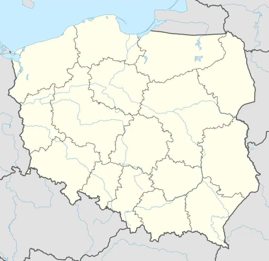
| Voivodeship | Warmian-Masurian |
| County | Nowe Miasto |
| Gmina | Kurzętnik |
| Town rights | 1330 |
| Town rights revoked | 1905 |
| Population | |
| • Total | 3,065 |
| Time zone | UTC+1 (CET) |
| • Summer (DST) | UTC+2 (CEST) |
| Vehicle registration | NNM |
| Website | http://bip.warmia.mazury.pl/kurzetnik_gmina_wiejska/ |
Kurzętnik [kuˈʐɛntnik] is a village in Nowe Miasto County, Warmian-Masurian Voivodeship, in northern Poland. It is the seat of the gmina (administrative district) called Gmina Kurzętnik.[1] It lies approximately 2 kilometres (1 mi) south of Nowe Miasto Lubawskie and 75 km (47 mi) south-west of the regional capital Olsztyn.
Kurzętnik was a private church town, administratively located in the Chełmno Voivodeship in the Kingdom of Poland.[2]
References
- ↑ "Central Statistical Office (GUS) - TERYT (National Register of Territorial Land Apportionment Journal)" (in Polish). 2008-06-01.
- ↑ Prusy Królewskie w drugiej połowie XVI wieku. Część I. Mapy, plany (in Polish). Warszawa: Instytut Historii Polskiej Akademii Nauk. 2021. p. 1.
This article is issued from Wikipedia. The text is licensed under Creative Commons - Attribution - Sharealike. Additional terms may apply for the media files.