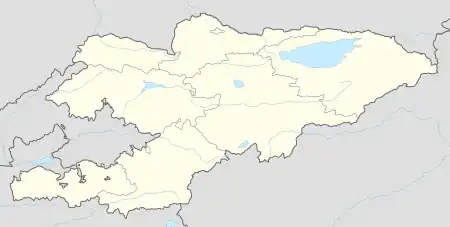
Kyzyl-Jar
Кызыл-Жар | |
|---|---|
 Animal bazaar in Kyzyl-Jar | |
 Kyzyl-Jar | |
| Coordinates: 41°08′50″N 72°05′30″E / 41.14722°N 72.09167°E | |
| Country | Kyrgyzstan |
| Region | Jalal-Abad Region |
| District | Aksy District |
| Population (2021) | |
| • Total | 7,074 |
| Time zone | UTC+6 |
Kyzyl-Jar (also Kyzyl-Dzhar, Kyrgyz: Кызыл-Жар, pronounced [qɯzɯld͡ʒɑ́r], literally "Red cliff") is a village in Aksy District of Jalal-Abad Region in Kyrgyzstan.[1] Its population was 7,074 in 2021.[2] The river Naryn separates the village from Uch-Kurgan, Uzbekistan, not far from Namangan. The area and even the village are still sometimes referred to as Uch-Korgon, presumably due to the lumping together of the two villages during Soviet times. Until 2004, the rural community Nazaraliev, of which Kyzyl-Jar is part, was named Uchkorgon.[3] The village is located on the edge of the Fergana Valley and as such is a heavy watermelon, melon, and cotton-producing area.
Population
| Year | Pop. | ±% p.a. |
|---|---|---|
| 2009 | 5,016 | — |
| 2021 | 7,074 | +2.91% |
| Note: resident population; Sources:[4][2] | ||
References
- ↑ "Classification system of territorial units of the Kyrgyz Republic" (in Kyrgyz). National Statistics Committee of the Kyrgyz Republic. May 2021. pp. 20–22.
- 1 2 "Population of regions, districts, towns, urban-type settlements, rural communities and villages of Kyrgyz Republic" (XLS) (in Russian). National Statistics Committee of the Kyrgyz Republic. 2021. Archived from the original on 10 November 2021.
- ↑ Law 25 June 2004 No. 78
- ↑ "2009 population and housing census of the Kyrgyz Republic: Jalal-Abad Region" (PDF) (in Russian). National Statistics Committee of the Kyrgyz Republic. 2010. p. 320.
This article is issued from Wikipedia. The text is licensed under Creative Commons - Attribution - Sharealike. Additional terms may apply for the media files.