La Canonja | |
|---|---|
 Sant Sebastià church | |
.svg.png.webp) Coat of arms | |
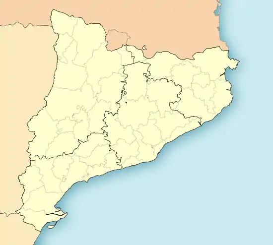 La Canonja Location in Catalonia | |
| Coordinates: 41°07′25″N 1°10′43″E / 41.12361°N 1.17861°E | |
| Country | |
| Community | |
| Province | Tarragona |
| Comarca | Tarragonès |
| Municipality | 15 April 2010 |
| Government | |
| • Type | Mayor–council |
| • Body | Ajuntament de La Canonja |
| • Mayor | Roc Muñoz Martínez (2015)[1] (PSC) |
| Area | |
| • Total | 7.3 km2 (2.8 sq mi) |
| Elevation (AMSL) | 46 m (151 ft) |
| Population (2018)[3] | |
| • Total | 5,842 |
| • Density | 800/km2 (2,100/sq mi) |
| Demonym(s) | canongí, canongina |
| Postal code | 43110 |
| Area code | +34 (Spain) 977 (Province) |
| Website | www |
La Canonja is a municipality of the comarca of Tarragonès, in the province of Tarragona, in Catalonia, Spain. La Canonja was segregated from Tarragona on 15 April 2010 by a decision of the Parliament of Catalonia. It borders with Tarragona, Reus and Vila-seca.
References
- ↑ "Ajuntament de la Canonja". Generalitat of Catalonia. Retrieved 13 November 2015.
- ↑ "El municipi en xifres: La Canonja". Statistical Institute of Catalonia. Retrieved 23 November 2015.
- ↑ Municipal Register of Spain 2018. National Statistics Institute.
External links
- La Canonja Council web page
- Government data pages (in Catalan)
Municipalities of Tarragonès | ||
|---|---|---|
This article is issued from Wikipedia. The text is licensed under Creative Commons - Attribution - Sharealike. Additional terms may apply for the media files.