| La Coulotte Peak | |
|---|---|
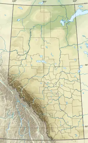 La Coulotte Peak Location in Alberta and British Columbia 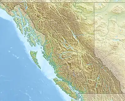 La Coulotte Peak La Coulotte Peak (British Columbia) | |
| Highest point | |
| Elevation | 2,438 m (7,999 ft)[1][2] |
| Prominence | 285 m (935 ft)[3] |
| Parent peak | Scarpe Mountain (2613 m)[3] |
| Listing | |
| Coordinates | 49°11′59″N 114°19′05″W / 49.1997222°N 114.3180556°W[4] |
| Geography | |
| Country | Canada |
| Provinces | Alberta and British Columbia |
| Parent range | Flathead Range |
| Topo map | NTS 82G1 Sage Creek[4] |
La Coulotte Peak is located SE of Fernie and straddles the Continental Divide marking the Alberta-British Columbia border.[5] It was named after La Coulotte near Lens, France where Canadian troops fought the German army at the Battle of Vimy Ridge in World War I.[5][1][3]
See also
References
- 1 2 "La Coulotte Peak". cdnrockiesdatabases.ca. Retrieved 2010-02-19.
- ↑ "Topographic map of La Coulotte Peak". opentopomap.org. Retrieved 2023-10-18.
- 1 2 3 "La Coulotte Peak". Bivouac.com. Retrieved 2010-02-19.
- 1 2 "La Coulotte Peak (Alberta)". Geographical Names Data Base. Natural Resources Canada. Retrieved 2023-10-18.
- 1 2 "La Coulotte Peak". BC Geographical Names. Retrieved 2023-10-18.
This article is issued from Wikipedia. The text is licensed under Creative Commons - Attribution - Sharealike. Additional terms may apply for the media files.