La Oroya | |
|---|---|
 | |
 Coat of arms | |
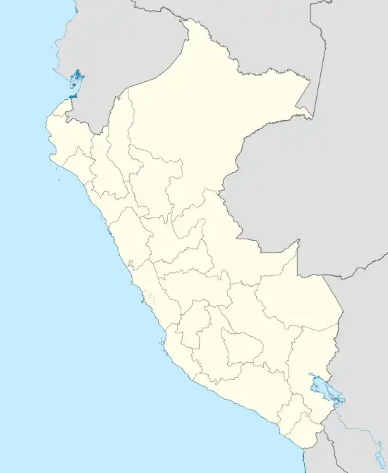 La Oroya Location of La Oroya in the Yauli province | |
| Coordinates: 11°31′19″S 75°54′36″W / 11.5220°S 75.9100°W | |
| Country | |
| Region | Junín |
| Province | Yauli |
| Founded | November 15, 1893 |
| Capital | La Oroya |
| Government | |
| • Mayor | Cesar Augusto Gutierrez Revilla |
| Area | |
| • Total | 388.42 km2 (149.97 sq mi) |
| Elevation | 3,745 m (12,287 ft) |
| Population (2017) | |
| • Total | 14,021 |
| • Density | 36/km2 (93/sq mi) |
| Time zone | UTC-5 (PET) |
| UBIGEO | 120801 |
| Website | munilaoroya.gob.pe |
La Oroya District is one of ten districts of the Yauli Province in Peru. It is a region that is rich in zinc, lead and copper.
Geography
One of the highest peaks of the district is Hatun Punta at approximately 4,400 m (14,400 ft). Other mountains are listed below:[1]
- Anta Waru
- Ch'uru Qucha
- Hatun Chunta
- Hatun Waqta
- Hatun Wasi
- K'urpa Kancha
- Maraqniyuq
- Paqcha
- Pata Kancha
- Pishqa Pukyu
- Puytuq
- Waman Marka
- Wamanripa
- Wayu Rumi
See also
References
- ↑ escale.minedu.gob.pe/ UGEL map Yauli Province (Junín Region)
- Banco de Información Distrital. Retrieved April 11, 2008
This article is issued from Wikipedia. The text is licensed under Creative Commons - Attribution - Sharealike. Additional terms may apply for the media files.