La Sarre Airport | |||||||||||
|---|---|---|---|---|---|---|---|---|---|---|---|
| Summary | |||||||||||
| Airport type | Public | ||||||||||
| Operator | City of La Sarre | ||||||||||
| Location | La Sarre, Quebec | ||||||||||
| Time zone | EST (UTC−05:00) | ||||||||||
| • Summer (DST) | EDT (UTC−04:00) | ||||||||||
| Elevation AMSL | 1,048 ft / 319 m | ||||||||||
| Coordinates | 48°55′00″N 079°10′45″W / 48.91667°N 79.17917°W | ||||||||||
| Map | |||||||||||
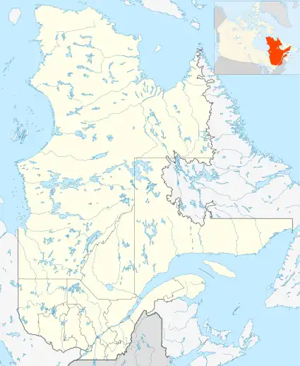 CSR8 Location in Quebec | |||||||||||
| Runways | |||||||||||
| |||||||||||
Source: Canada Flight Supplement[1] | |||||||||||
La Sarre Airport (IATA: SSQ, TC LID: CSR8) is located 7.5 nautical miles (13.9 km; 8.6 mi) northeast of La Sarre, Quebec, Canada.
References
| By name | |
|---|---|
| By location indicator | |
| By province/territory | |
| By area | |
| National Airports System | |
| Related | |
| |
This article is issued from Wikipedia. The text is licensed under Creative Commons - Attribution - Sharealike. Additional terms may apply for the media files.