| Lake Balangida | |
|---|---|
 Lake Balangida | |
| Coordinates | 4°20′S 35°20′E / 4.333°S 35.333°E |
| Type | alkaline, saline |
| Primary outflows | none |
| Basin countries | Tanzania |
| Max. length | 15.5 km (9.6 mi) |
| Max. width | 3 km (1.9 mi) |
| Surface area | 33 km2 (13 sq mi) |
| Surface elevation | 1,947 m (6,388 ft) |
| Islands | none |
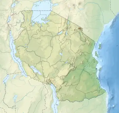
Lake Balangida is a shallow alkaline lake in Hanang District of west Manyara Region in the Natron-Manyara-Balangida branch of the East African Rift in north-central Tanzania.
The area surrounding Lake Balangida is used for agriculture and grazing.[1]
References
- ↑ Kamukala, G.L.; Crafter, S.A. (1993). Wetlands of Tanzania: Proceedings of a Seminar on the Wetlands of Tanzania, Morogoro, Tanzania, 27-29 November, 1991. IUCN.
This article is issued from Wikipedia. The text is licensed under Creative Commons - Attribution - Sharealike. Additional terms may apply for the media files.