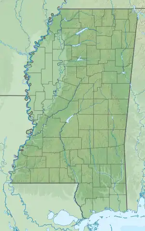
| Lake Bill Waller | |
|---|---|
 Lake Bill Waller  Lake Bill Waller | |
| Location | Marion County, Mississippi |
| Coordinates | 31°11′29″N 89°43′12″W / 31.19139°N 89.72000°W |
| Basin countries | United States |
| Surface area | 168 acres (68 ha) |
| Surface elevation | 226 ft (69 m) |
| References | [1] |
Lake Bill Waller is a 168-acre man-made lake, named for former Governor of Mississippi Bill Waller. It is located in Marion County, Mississippi, seven miles southeast of Columbia, and is primarily used for angling.[2][3]
History
In 1995, Lake Bill Waller produced the second-largest largemouth bass (15 lb. 14 oz.) ever caught in the state. It closed in 2003 and reopened in 2007 following draining, renovation and restocking with game fish.[4]
Management
Lake Bill Waller is continually monitored by Mississippi biologists to maintain the production of trophy and eating-sized fish, with a catch and release focus. Manager Tim Barber described their efforts:
All the bass 18 inches or longer must be released back into the lake. We also encourage anglers to keep 15 bass, 18-inches and under, per person per day. Some of the fish less than 18 inches weigh from 2 1/2 to 3 pounds each, which are really good eating-size bass. We encourage our fishermen to catch and eat these bass to keep the lake in balance.[5]
References
- ↑ "Lake Bill Waller". Geographic Names Information System. United States Geological Survey, United States Department of the Interior. Retrieved September 13, 2011.
- ↑ Mississippi Bead and Breakfast Association; Visit Mississippi One Porch at a Time
- ↑ | Mississippi Wildlife, Fisheries and Parks; Lake Bill Waller
- ↑ | Mississippi Sportsman; Bill Waller is Back
- ↑ | Mississippi Sportsman; Bill Waller is Back