| Lake Mantasoa | |
|---|---|
 Lake Mantasoa | |
| Location | Analamanga region, Madagascar |
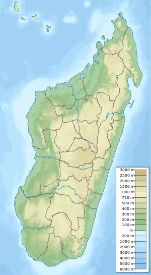
| Coordinates | 19°01′15″S 47°51′36″E / 19.0208°S 47.8599°E |
| Type | reservoir |
| River sources | Varahina river |
| Built | 1936 |
| Surface area | 20 km2 (7.7 sq mi) |
| Surface elevation | 1397 m |
| Settlements | Mantasoa |
Lake Mantasoa is a large lake with a surface area of 20.05 km2 (7.74 sq mi), created by the Mantasoa Dam on the Varahina river (an affluent of the Ikopa river) in the municipality of Mantasoa, Analamanga region of Madagascar.[1] It provides tabbed water for the capitol Antananarivo.
Geography
It is situated at 68km east of Antananarivo.
References
- ↑ "Lake Mantasoa". Madonline.com. Retrieved 2017-08-21.
This article is issued from Wikipedia. The text is licensed under Creative Commons - Attribution - Sharealike. Additional terms may apply for the media files.