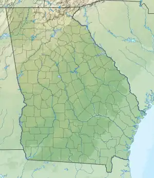
| Lake Marvin | |
|---|---|
 | |
 Lake Marvin  Lake Marvin | |
| Location | Georgia |
| Coordinates | 34°34′04″N 85°05′08″W / 34.56778°N 85.08556°W[1] |
| Type | reservoir |
| Primary inflows | Pocket Creek |
| Primary outflows | Pocket Creek |
| Basin countries | United States |
| Surface area | 90 acres (0.36 km2)[2] |
| Surface elevation | 902 feet (275 m)[1] |
Lake Marvin is a reservoir in Floyd County, in the U.S. state of Georgia.[1] The lake was named for Marvin Muze, the original landowner.[3]
Description
Lake Marvin is located in northern Floyd County in a basin known as The Pocket. The lake is situated between Horn Mountain and Mill Mountain, two ridges in the Ridge-and-Valley Appalachians. Calhoun is located about 8 miles (13 km) to the southeast, while Rome is located 20 miles to the south-southwest.[4] The lake is surrounded by the Johns Mountain Wildlife Management Area and the Chattahoochee-Oconee National Forest.[2]
The reservoir was created by the completion of Lake Marvin Dam on Pocket Creek.[4] The lake has an area of 90 acres and a surface elevation of 902 feet (275 m).[1][2] The Northwest Georgia Girl Scout Council owns the reservoir.[2]
The lake is home to redear sunfish, bluegill, and largemouth bass.[5]
Lake Marvin was not open to the public during the COVID-19 pandemic.
See also
References
- 1 2 3 4 U.S. Geological Survey Geographic Names Information System: Lake Marvin
- 1 2 3 4 Lake Marvin. Trails.com. Retrieved 12 November 2017.
- ↑ "Floyd County". Calhoun Times. September 1, 2004. p. 70. Retrieved 24 April 2015.
- 1 2 United States Geological Survey (April 4, 2017). Sugar Valley, GA quadrangle (Topographic map). Reston, VA: United States Geological Survey. Retrieved April 4, 2017 – via TopoQuest.
- ↑ Lake Marvin - Lake Details. Georgia DNR. Retrieved 12 November 2017.