| Lake Siskiyou | |
|---|---|
 with Mount Shasta in the distance. | |
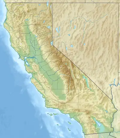 Lake Siskiyou  Lake Siskiyou | |
| Location | Siskiyou County, California |
| Coordinates | 41°17′00″N 122°20′21″W / 41.28333°N 122.33917°W |
| Type | Reservoir |
| Primary inflows | Sacramento River |
| Primary outflows | Sacramento River |
| Basin countries | United States |
| Max. length | 1.62 mi (2.61 km) |
| Max. width | 1.39 mi (2.24 km) |
| Surface area | 430 acres (170 ha)[1] |
| Water volume | 26,000 acre⋅ft (32,000,000 m3)[1] |
| Surface elevation | 3,185 ft (971 m) |
| Settlements | Mount Shasta, California |
Lake Siskiyou is a reservoir formed by Box Canyon Dam[1] on the Sacramento River, in far northern California, near the town of Mt. Shasta, California.[2] It is the site of local recreation, as well as being used for watershed protection and flood control.
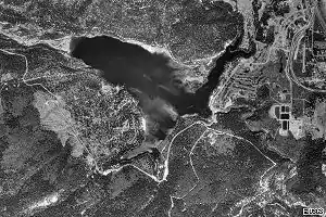
Satellite view
Wagon Creek Bridge
In late 2010 a walking bridge over the wagon creek inlet was completed, finishing a trail that wraps around the entire lake. The cost of the bridge was $2.8 million; funding was obtained from the McConnell Foundation, The State of California and federal stimulus funds. The McConnell Foundation also provided funds for the Sundial Bridge in Redding, California.[3]
See also
References
- 1 2 3 Box Canyon Dam Archived 2011-07-16 at the Wayback Machine NPDP Dam Directory. Accessed 2008-01-04.
- ↑ Map of Lake Siskiyou accessed 2008-01-04.
- ↑ Redding Searchlight "Wagon Creek bridge will open Tuesday" "Wagon Creek bridge will open Tuesday » Redding Record Searchlight". Archived from the original on 2013-02-16. Retrieved 2013-01-29. October 14, 2010
- "Lake Siskiyou". Geographic Names Information System. United States Geological Survey, United States Department of the Interior.
This article is issued from Wikipedia. The text is licensed under Creative Commons - Attribution - Sharealike. Additional terms may apply for the media files.