| Lanehead | |
|---|---|
 Cornriggs and Lanehead | |
 Lanehead Location within County Durham | |
| Population | 40 (2001 census) |
| Civil parish | |
| Unitary authority | |
| Shire county | |
| Region | |
| Country | England |
| Sovereign state | United Kingdom |
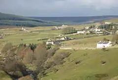
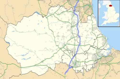
Lanehead is a hamlet in the civil parish of Stanhope, in County Durham, England.[1] It lies at the head of Weardale, approximately 2 km west of Cowshill. It is also located near to Killhope, and the boundary of the county of Cumbria. In the 2001 census Lanehead had a population of 40.[2]
The primary industry in the area is farming, and the River Wear runs through the area. It is the first village encountered when entering County Durham from the West, from Alston.
References
- ↑ Ordnance Survey: Landranger map sheet 87 Hexham & Haltwhistle (Map). Ordnance Survey. 2009. ISBN 9780319231678.
- ↑ "Wear Valley Settlement Summary Sheets" (PDF). Durham County Council. Archived from the original (PDF) on 7 October 2007. Retrieved 14 October 2016.
External links
![]() Media related to Lanehead, County Durham at Wikimedia Commons
Media related to Lanehead, County Durham at Wikimedia Commons
This article is issued from Wikipedia. The text is licensed under Creative Commons - Attribution - Sharealike. Additional terms may apply for the media files.