| Langlitinden | |
|---|---|
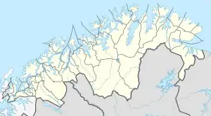
 Langlitinden Location of the mountain  Langlitinden Langlitinden (Norway) | |
| Highest point | |
| Elevation | 1,276 m (4,186 ft) |
| Prominence | 1,276 m (4,186 ft) |
| Isolation | 30.1 to 30.3 km (18.7 to 18.8 mi) |
| Listing | 15 at List of mountains in Norway by prominence |
| Coordinates | 68°52′04″N 17°23′15″E / 68.8679°N 17.3874°E[1] |
| Geography | |
| Location | Troms og Finnmark, Norway |
| Topo map | 1332 I Andørja |
Langlitinden is the highest mountain on the island of Andørja and is also the highest mountain on any Norwegian island (except Beerenberg, Jan Mayen). It is located on the northeastern part of the island in the municipality of Ibestad in Troms og Finnmark county, Norway, just to the south of the Mjøsund Bridge and just northwest of the shore of the Astafjorden. The mountain is 1,276 m (4,186 ft) tall.[2]
References
- ↑ "Langlitinden, Ibestad (Troms)" (in Norwegian). yr.no. Retrieved 2018-08-28.
- ↑ "Langlitinden" (in Norwegian). Retrieved 2010-04-04.
This article is issued from Wikipedia. The text is licensed under Creative Commons - Attribution - Sharealike. Additional terms may apply for the media files.