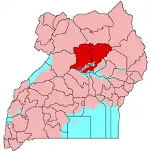
Lango Sub-region
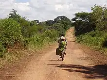
A road in rural Lango
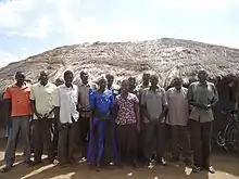
Community leaders in Lango
Lango sub-region is a region in Uganda covering an area of 15,570.7km consisting of the districts of:
It covers the area previously known as Lango District until 1974, when it was split into the districts of Apac and Lira, and subsequently into several other districts. The sub-region is home mainly to the Lango ethnic group.
At the 2002 national census, it had a population of about 1.5 million people. As of July 2018, its population was an estimated 2.3 million, about 5.75% of the estimated 40 million Ugandans at the time.[1]
See also
References
- ↑ Namagembe, Lillian (31 July 2018). "US Donates Shs125 Billion to Uganda". Daily Monitor. Kampala. Retrieved 31 July 2018.
External links
02°18′N 33°00′E / 2.300°N 33.000°E
This article is issued from Wikipedia. The text is licensed under Creative Commons - Attribution - Sharealike. Additional terms may apply for the media files.