Lany Tounka | |
|---|---|
Town | |
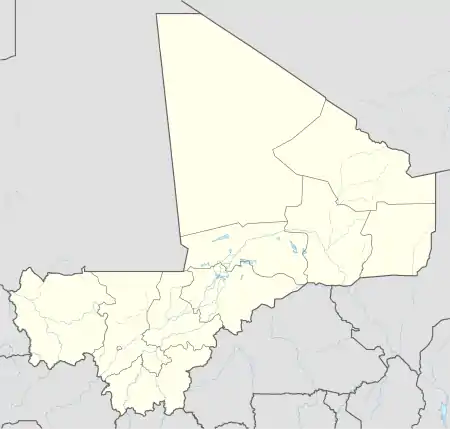 Lany Tounka Location in Mali | |
| Coordinates: 14°42′54″N 12°3′14″W / 14.71500°N 12.05389°W | |
| Country | |
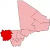
| Region | Kayes Region |
| Cercle | Kayes Cercle |
| Commune | Sony |
| Time zone | UTC+0 (GMT) |
.jpg.webp)
Construction works at a school
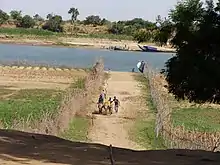
Senegal river near Lany Tounka
Lany Tounka (or Lani Tounka) is a small town and main settlement (chef-lieu) of the commune of Sony in the Cercle of Kayes in the Kayes Region of south-western Mali.[1] The town lies on the south bank of the Senegal River 73 km northwest of Kayes.
References
- ↑ Communes de la Région de Kayes (PDF) (in French), Ministère de l’administration territoriale et des collectivités locales, République du Mali, archived from the original (PDF) on 2012-03-09.
Wikimedia Commons has media related to Lany Tounka.
This article is issued from Wikipedia. The text is licensed under Creative Commons - Attribution - Sharealike. Additional terms may apply for the media files.