Las Piedras | |
|---|---|
Suburb of Bella Unión | |
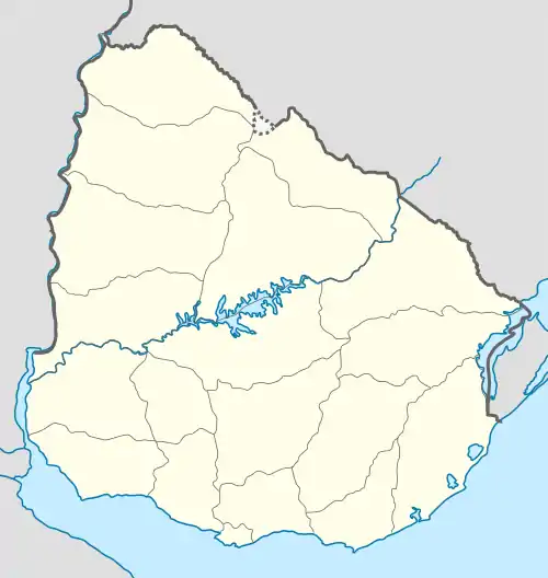 Las Piedras Location in Uruguay | |
| Coordinates: 30°14′0″S 57°35′0″W / 30.23333°S 57.58333°W | |
| Country | |
| Department | Artigas Department |
| Population (2011) | |
| • Total | 2,771 |
| Time zone | UTC -3 |
| Postal code | 55100 |
| Dial plan | +598 4779 (+4 digits) |
Las Piedras (which means "The Stones") is a suburb of Bella Unión in the Artigas Department of northern Uruguay.
Geography
Las Piedras, Franquia and Cuareim are located on a protruding part of land between Uruguay River and the mouth of Río Cuareim, where the international boundaries of Uruguay, Argentina and Brazil meet.
The suburb is located on Route 3 and borders the urban area of the city to the south, suburb Franquia to the north and suburb Cuareim to the west.
Population
In 2011 it had a population of 2,771.[1]
| Year | Population |
|---|---|
| 1963 | 216 |
| 1975 | 738 |
| 1985 | 1,253 |
| 1996 | 2,099 |
| 2004 | 2,164 |
| 2011 | 2,771 |
Source: Instituto Nacional de Estadística de Uruguay[2]
References
- ↑ "Censos 2011 Cuadros Artigas". INE. 2012. Archived from the original on 10 October 2012. Retrieved 25 August 2012.
- ↑ "1963–1996 Statistics / L". Instituto Nacional de Estadística de Uruguay. 2004. Archived from the original (DOC) on 29 November 2011. Retrieved 3 July 2011.
External links
Capital: Artigas | ||
| Municipalities | 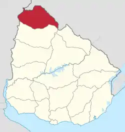 | |
| Towns and villages | ||
| Sights | ||
This article is issued from Wikipedia. The text is licensed under Creative Commons - Attribution - Sharealike. Additional terms may apply for the media files.