 | |
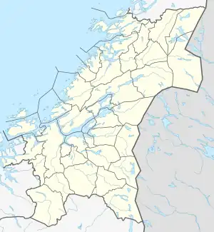 Lauvøya Location of the island 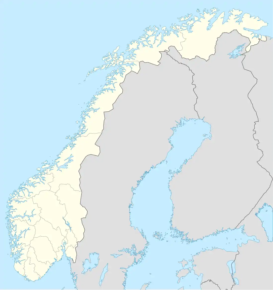 Lauvøya Lauvøya (Norway) | |
| Geography | |
|---|---|
| Location | Trøndelag, Norway |
| Coordinates | 63°55′49″N 9°55′53″E / 63.9302°N 09.9315°E |
| Area | 2.5 km2 (0.97 sq mi) |
| Length | 2 km (1.2 mi) |
| Width | 2 km (1.2 mi) |
| Coastline | 10 km (6 mi) |
| Highest elevation | 24 m (79 ft) |
| Highest point | Kukfjellet |
| Administration | |
Norway | |
| County | Trøndelag |
| Municipality | Åfjord |
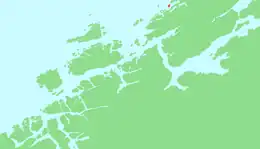
Lauvøya is an island in the municipality of Åfjord in Trøndelag county, Norway. It is located about 4 kilometres (2.5 mi) northeast of the village of Lysøysundet, near the mouth of the Åfjorden.[1]
The island is connected to the mainland by a 1-kilometre (0.62 mi) long causeway. The island is located south of the islands of Linesøya and Stokkøya. There are about 25 inhabitants on the 2.5-square-kilometre (1.0 sq mi) island.
See also
References
This article is issued from Wikipedia. The text is licensed under Creative Commons - Attribution - Sharealike. Additional terms may apply for the media files.