| Leadgate | |
|---|---|
.jpg.webp) Leadgate above Black Burn | |
| OS grid reference | NY706437 |
| Civil parish | |
| District | |
| Shire county | |
| Region | |
| Country | England |
| Sovereign state | United Kingdom |
| Post town | ALSTON |
| Postcode district | CA9 |
| Dialling code | 01434 |
| Police | Cumbria |
| Fire | Cumbria |
| Ambulance | North West |
| UK Parliament | |
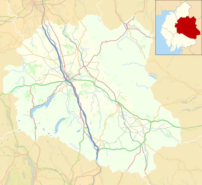
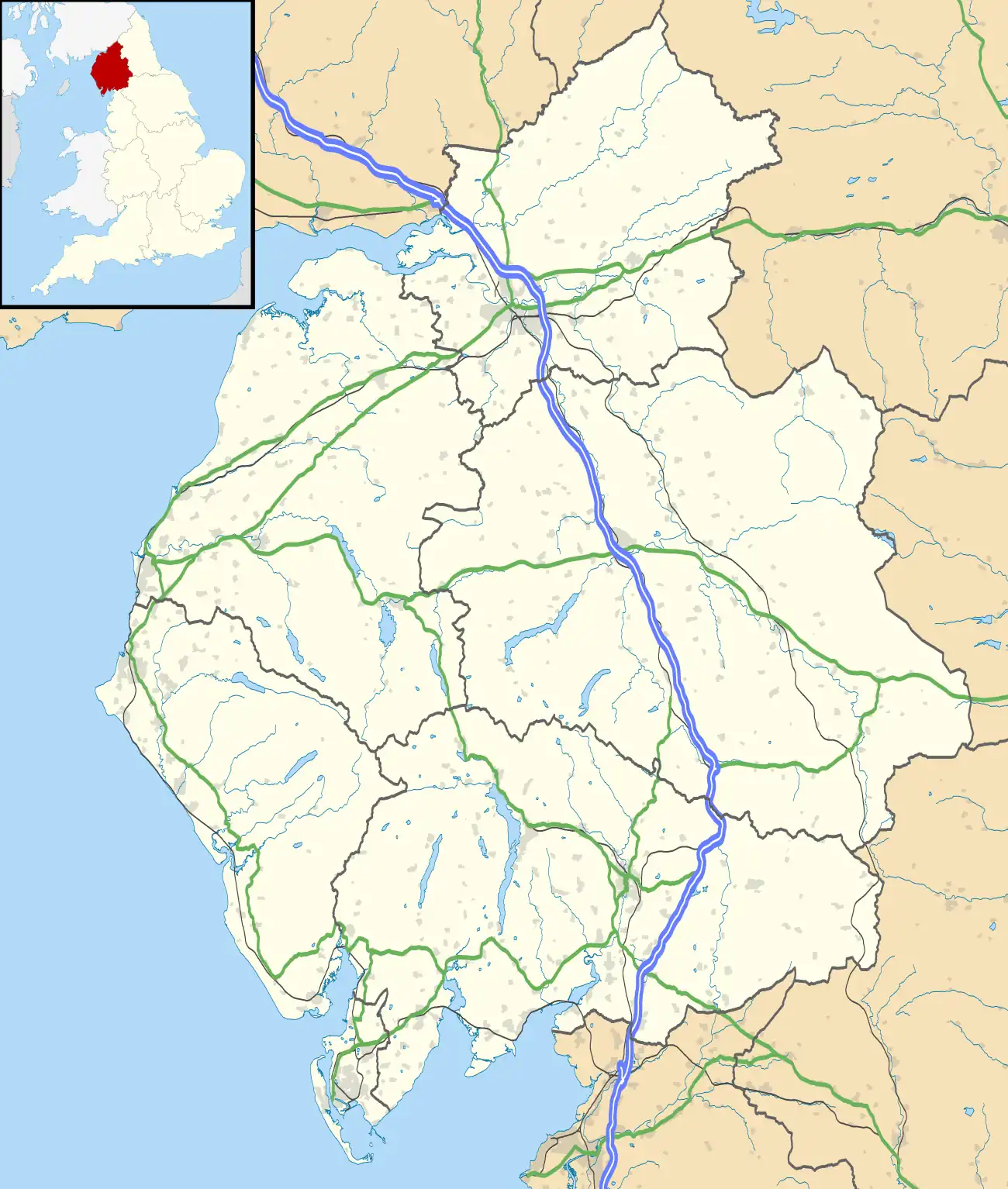
Leadgate is a small hamlet located at the foot of Hartside Fell between the town of Alston and the village of Garrigill in the parish of Alston Moor in Cumbria, England. It was the location of the earliest named mill on Alston Moor, referred to as Blackburn Mill in 1590,[1] situated on the Black Burn beck and still shown as a corn mill on the 1861 1:2500 scale Ordnance Survey map.
The Hartside Fell is a prominent feature of the area. The cafe on the top of Hartside Pass, 4 miles (6,400 m) west of the hamlet, claimed to be the highest cafe in England at 575m. The cafe burnt down in 2018.[2]
References
- ↑ Robertson, Alastair (2014). "Story No 50: The High Mill". Alston Moor Newsletter (89).
- ↑ Hartside Pass, Cumbria
External links
![]() Media related to Leadgate, Cumbria at Wikimedia Commons
Media related to Leadgate, Cumbria at Wikimedia Commons
This article is issued from Wikipedia. The text is licensed under Creative Commons - Attribution - Sharealike. Additional terms may apply for the media files.

