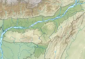
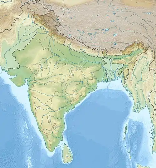
Ledo Airfield.png.webp) | |
|---|---|
| Part of Tenth Air Force | |
| Ledo, India | |
 Ledo Airfield  Ledo Airfield | |
| Coordinates | 27°18′09″N 095°44′14″E / 27.30250°N 95.73722°E (Approximate) |
| Type | Military airfield |
| Site information | |
| Controlled by | United States Army Air Forces |
| Site history | |
| Built | 1944 |
| In use | 1944–1945 |
| Battles/wars | Burma Campaign 1944–1945 |
Ledo Airfield is a former wartime United States Army Air Forces airfield in India used during the Burma Campaign 1944–1945. It is now abandoned, having been destroyed by the 1950 Assam–Tibet earthquake.
History
The airfield was located at the Railhead for the Ledo Road and was also used as one of the main supply points for "the Hump" transport route to Allied forces in China. It was the home of the C-46 Commandos of the 443rd Troop Carrier Group and the Air Transport Command India-China Wing 1st Air Cargo Resupply Squadron. The airfield was used by transport units until the end of January 1946 when it closed.
References
![]() This article incorporates public domain material from the Air Force Historical Research Agency
This article incorporates public domain material from the Air Force Historical Research Agency
- Maurer, Maurer. Air Force Combat Units Of World War II. Maxwell Air Force Base, Alabama: Office of Air Force History, 1983. ISBN 0-89201-092-4
- www.pacificwrecks.com – Hathazari keyword search
External links
This article is issued from Wikipedia. The text is licensed under Creative Commons - Attribution - Sharealike. Additional terms may apply for the media files.