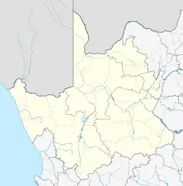
Lekkersing | |
|---|---|
 Lekkersing  Lekkersing | |
| Coordinates: 29°00′07″S 17°05′49″E / 29.002°S 17.097°E | |
| Country | South Africa |
| Province | Northern Cape |
| District | Namakwa |
| Municipality | Richtersveld |
| Area | |
| • Total | 0.63 km2 (0.24 sq mi) |
| Population (2011)[1] | |
| • Total | 363 |
| • Density | 580/km2 (1,500/sq mi) |
| Racial makeup (2011) | |
| • Black African | 1.7% |
| • Coloured | 97.5% |
| • Indian/Asian | 0.6% |
| • Other | 0.3% |
| First languages (2011) | |
| • Afrikaans | 98.9% |
| • Other | 1.1% |
| Time zone | UTC+2 (SAST) |
| Postal code (street) | 8283 |
| PO box | 8283 |
Lekkersing is a town in Namakwa District Municipality in the Northern Cape province of South Africa.
Lekkersing, located about 50 km from Eksteenfontein and 70 km from Kuboes, lies nestled in the hills of the Richtersveld. Temperatures as high as 53 °C have been recorded in this area.[2]
References
- 1 2 3 4 "Main Place Lekkersing". Census 2011.
- ↑ "Lekkersing, Northern Cape". SA Travel Directory. Retrieved 4 January 2014.
This article is issued from Wikipedia. The text is licensed under Creative Commons - Attribution - Sharealike. Additional terms may apply for the media files.
.svg.png.webp)