| Lignon | |
|---|---|
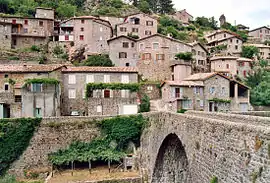 A bridge over the Lignon at Jaujac. | |
  | |
| Location | |
| Country | France |
| Physical characteristics | |
| Source | |
| • location | La Souche |
| • coordinates | 44°37′46″N 04°05′27″E / 44.62944°N 4.09083°E |
| • elevation | 1,360 m (4,460 ft) |
| Mouth | |
• location | Ardèche |
• coordinates | 44°40′04″N 04°16′34″E / 44.66778°N 4.27611°E |
• elevation | 308 m (1,010 ft) |
| Length | 20.7 km (12.9 mi) |
| Basin features | |
| Progression | Ardèche→ Rhône→ Mediterranean Sea |
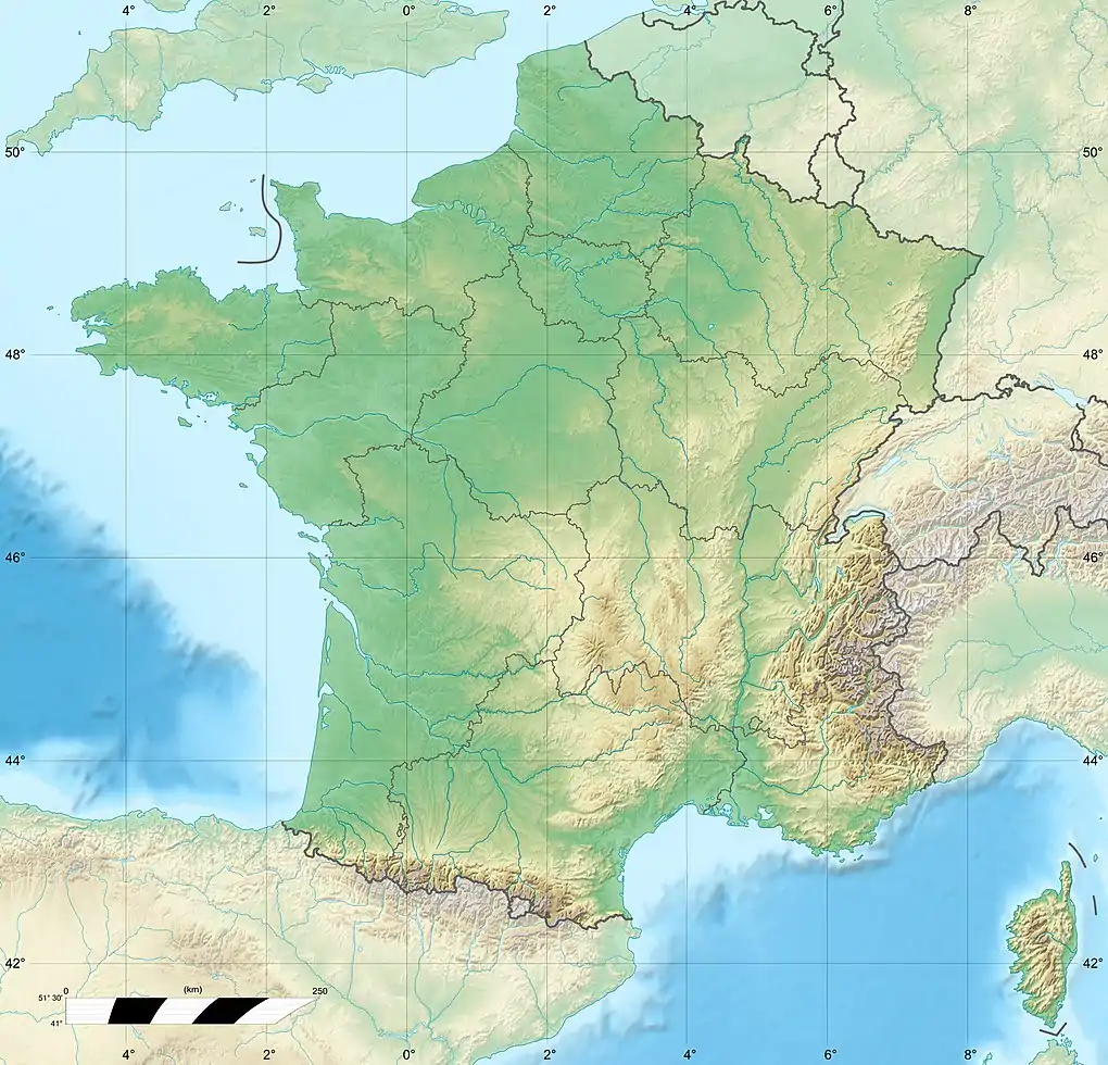
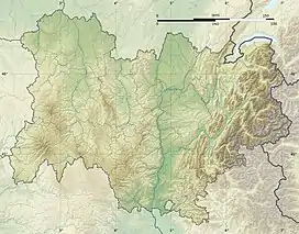
The Lignon (French: le Lignon) is a 20.7 km (12.9 mi) long river in the Ardèche département, southern France.[1] Its source is at La Souche, in the Parc naturel régional des Monts d'Ardèche. It flows generally east-northeast. It is a right tributary of the Ardèche into which it flows between Meyras and Pont-de-Labeaume.
Communes along its course
This list is ordered from source to mouth:
- Ardèche: La Souche, Jaujac, Fabras, Meyras, Pont-de-Labeaume
References
This article is issued from Wikipedia. The text is licensed under Creative Commons - Attribution - Sharealike. Additional terms may apply for the media files.