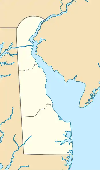
| Lingo Creek | |
|---|---|
 | |
| Location | |
| Country | United States |
| State | Delaware |
| County | Sussex |
| Physical characteristics | |
| Source | On the watershed divide between Lingo Creek and Guinea Creek |
| • location | Pot Nets, Delaware |
| • coordinates | 38°37′36″N 075°10′41″W / 38.62667°N 75.17806°W[1] |
| • elevation | 10 ft (3.0 m)[2] |
| Mouth | just west of Pot Nets, Delaware |
• location | Pot Nets, Delaware |
• coordinates | 38°36′38″N 075°09′28″W / 38.61056°N 75.15778°W[3] |
• elevation | 10 ft (3.0 m)[4] |
| Basin features | |
| Progression | southeast |
| River system | Indian River Bay |
Lingo Creek is a 1.7-mile-long (2.7 km) stream flowing southeast to Indian River Bay, 7.5 miles (12.1 km) northeast of Frankford in Sussex County, Delaware.[5]
See also
References
- ↑ "GNIS Detail - Lingo Creek". geonames.usgs.gov. US Geological Survey. Retrieved 29 May 2019.
- ↑ "Blackwater Creek Topo Map, Sussex County DE (Frankford Area)". TopoZone. Locality, LLC. Retrieved 30 July 2019.
- ↑ "GNIS Detail - Lingo Creek". geonames.usgs.gov. US Geological Survey. Retrieved 29 May 2019.
- ↑ "Blackwater Creek Topo Map, Sussex County DE (Frankford Area)". TopoZone. Locality, LLC. Retrieved 30 July 2019.
- ↑ L. W. Heck, A. J. Wraight, D. J. Orth, J. R. Carter, L. G. Van Winkle, and Janet Hazen: Delaware Place Names, National Geological Survey Bulletin 1245, U.S. Government Printing Office, Washington, D.C., 1966, p. 66.
38°36′38″N 75°09′28″W / 38.61056°N 75.15778°W
This article is issued from Wikipedia. The text is licensed under Creative Commons - Attribution - Sharealike. Additional terms may apply for the media files.