Lircay | |
|---|---|
Town | |
 Lircay | |
| Coordinates: 12°59′22.77″S 74°43′13.76″W / 12.9896583°S 74.7204889°W | |
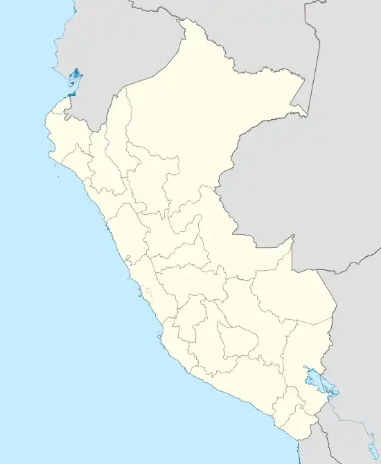
| Country | |
| Region | Huancavelica |
| Province | Angaraes |
| District | Lircay |
| Government | |
| • Mayor | Raul Victor Anyaipoma Bendezu |
| Elevation | 3,278 m (10,755 ft) |
| Time zone | UTC-5 (PET) |
Lircay is a town in Central Peru, capital of the province Angaraes in the region Huancavelica.[1] It is located at an altitude of 3,278 m. The town had a population according to the 2007 census of 6,563 people. Most of the people of the town belong to the native American race.
Climate
| Climate data for Lircay (elevation 3,303 m (10,837 ft), 1991–2020 normals) | |||||||||||||
|---|---|---|---|---|---|---|---|---|---|---|---|---|---|
| Month | Jan | Feb | Mar | Apr | May | Jun | Jul | Aug | Sep | Oct | Nov | Dec | Year |
| Mean daily maximum °C (°F) | 19.3 (66.7) |
18.8 (65.8) |
19.0 (66.2) |
20.0 (68.0) |
20.7 (69.3) |
20.4 (68.7) |
20.3 (68.5) |
20.7 (69.3) |
21.0 (69.8) |
21.0 (69.8) |
21.7 (71.1) |
20.1 (68.2) |
20.2 (68.5) |
| Mean daily minimum °C (°F) | 6.8 (44.2) |
7.1 (44.8) |
7.0 (44.6) |
5.6 (42.1) |
3.3 (37.9) |
1.9 (35.4) |
1.3 (34.3) |
2.3 (36.1) |
4.1 (39.4) |
5.3 (41.5) |
5.4 (41.7) |
6.3 (43.3) |
4.7 (40.4) |
| Average precipitation mm (inches) | 142.7 (5.62) |
147.3 (5.80) |
114.4 (4.50) |
54.1 (2.13) |
24.8 (0.98) |
10.7 (0.42) |
14.9 (0.59) |
16.4 (0.65) |
29.4 (1.16) |
51.7 (2.04) |
53.2 (2.09) |
103.4 (4.07) |
763 (30.05) |
| Source: National Meteorology and Hydrology Service of Peru[2] | |||||||||||||
Transportation
The city is connected to the city of Huancavelica by a 2-lane road that was paved in 2016.
Education
The town is home of a local university; the Universidad para el Desarrollo Andino, and has a branch of the Universidad Nacional de Huancavelica. There are a local technical institute; the Instituto Tecnologico Lircay.
Health
Lircay has a clinic, Centro de Salud, that serves the city and the towns nearby.
References
- ↑ (in Spanish) Instituto Nacional de Estadística e Informática. Banco de Información Digital Archived 2008-04-23 at the Wayback Machine, Retrieved June 10, 2008
- ↑ "Normales Climaticás Estándares y Medias 1991-2020". National Meteorology and Hydrology Service of Peru. Archived from the original on 21 August 2023. Retrieved 6 November 2023.
12°59′22.77″S 74°43′13.76″W / 12.9896583°S 74.7204889°W
This article is issued from Wikipedia. The text is licensed under Creative Commons - Attribution - Sharealike. Additional terms may apply for the media files.