| Little Two Hearted River | |
|---|---|
.jpg.webp) Little Two Hearted River from County Road 412 | |
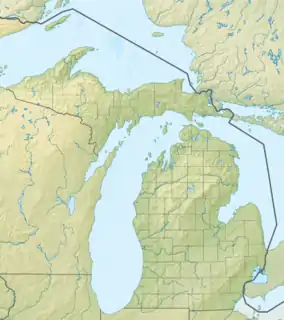
 Location within the state of Michigan | |
| Physical characteristics | |
| Source | |
| • location | Little Two Hearted Lakes |
| • coordinates | 46°34′48″N 85°23′32″W / 46.58000°N 85.39222°W |
| • elevation | 712 feet (217 m) |
| Mouth | |
• location | Lake Superior |
• coordinates | 46°42′43″N 85°22′36″W / 46.71194°N 85.37667°W |
• elevation | 602 feet (183 m) |
| Length | 23.9 miles (38.5 km) |
| Basin features | |
| Waterbodies | Culthane Lake, Little Pike Lake, Pike Lake |
.jpg.webp)
County Road 412 bridge crossing the Little Two Hearted River
The Little Two Hearted River is a 23.9-mile-long (38.5 km) river located entirely within Luce County in the U.S. state of Michigan.[1][2] The river rises from its source at Little Two Hearted Lakes in Lake Superior State Forest and flows north into Lake Superior about 4.0 miles (6.4 km) east of the Two Hearted River.
The river is entirely located within McMillan Township and is passed over along County Road 412 travelling eastward from Pine Stump Junction to Crisp Point Light.
See also
References
- ↑ U.S. Geological Survey Geographic Names Information System: Little Two Hearted River
- ↑ U.S. Geological Survey. National Hydrography Dataset high-resolution flowline data. The National Map Archived 2012-03-29 at the Wayback Machine, accessed January 3, 2012
This article is issued from Wikipedia. The text is licensed under Creative Commons - Attribution - Sharealike. Additional terms may apply for the media files.