| Llanwnda | |
|---|---|
 Llanwnda | |
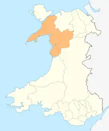
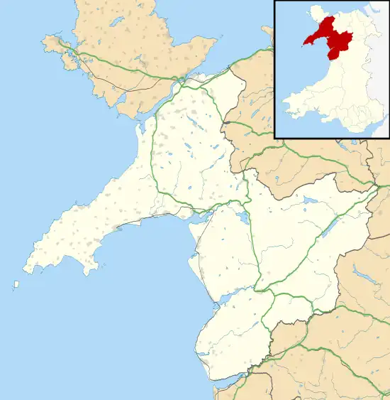 Llanwnda Location within Gwynedd | |
| Population | 1,994 (2011) |
| OS grid reference | SH475584 |
| Community |
|
| Principal area | |
| Country | Wales |
| Sovereign state | United Kingdom |
| Post town | CAERNARFON |
| Postcode district | LL54 |
| Dialling code | 01286 |
| Police | North Wales |
| Fire | North Wales |
| Ambulance | Welsh |
| UK Parliament | |
| Senedd Cymru – Welsh Parliament | |
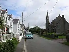
Llanwnda is a village, community and electoral ward in Gwynedd, Wales. The community has a population of 1,994 as taken at the 2011 Census.[1] It is situated about 3 miles to the south of Caernarfon, and 5 miles south-west of Llanrug. According to the 2011 Census, 81.6% of the population were Welsh speakers. The image on the right is of Glanrhyd, Llanwnda, not the village of Llanwnda less than a mile to the south. The community includes the slate mining villages of Rhosgadfan and Rhostryfan.
References
- ↑ "Community/Ward population 2011". Retrieved 17 May 2015.
- The geographic coordinates are from the Ordnance Survey.
External links
Wikimedia Commons has media related to Llanwnda, Gwynedd.
This article is issued from Wikipedia. The text is licensed under Creative Commons - Attribution - Sharealike. Additional terms may apply for the media files.