| Loch Frisa | |
|---|---|
| Loch Friosa (Irish) | |
 Loch Frisa | |
| Location | Isle of Mull, Inner Hebrides, Scotland |
| Coordinates | 56°33′45″N 6°05′50″W / 56.562439°N 6.097124°W |
| Type | lake |
| Surface area | 438 ha (1,080 acres) |
| Average depth | 23.3 m (76 ft) |
| Max. depth | 62.5 m (205 ft) |
| Surface elevation | 76 m (249 ft) |
| References | [1] |
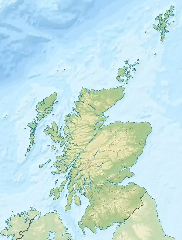
Loch Frisa (Scottish Gaelic: Loch Friosa) is a loch on the Isle of Mull, Inner Hebrides, Scotland.[2][3] It falls within the Argyll and Bute unitary authority area.[4] The loch runs largely northwest to southeast. Its northwestern end is about halfway between Tobermory and Dervaig. It is the largest loch on the Isle of Mull.[5]
Loch Frisa is considered to be low-altitude, medium-alkalinity and generally deep.[1] It is known for eagle watching.[6][7]
The ship HMS Widemouth Bay was for some time named after Loch Frisa,[8][9] and Caledonian Maritime Assets purchased a ferry in 2021 that they named MV Loch Frisa.
References
- 1 2 "Details about a UK lake". eip.ceh.ac.uk.
- ↑ "Loch Frisa (Vol. 5, Plate 67) - Bathymetrical Survey of the Fresh-Water Lochs of Scotland, 1897-1909". maps.nls.uk.
- ↑ "Loch Frisa". Loch Frisa.
- ↑ "#GetOutside: do more in the British Outdoors". OS GetOutside.
- ↑ Murray and Pullar (1910) "Lochs of Mull" Page 174, Volume II, Part II. National Library of Scotland. Retrieved 19 March 2020.
- ↑ "Loch Frisa - Forestry and Land Scotland". forestryandland.gov.scot.
- ↑ "Loch Frisa (Mull)". www.knowledge.me.uk.
- ↑ Colledge, J. J.; Warlow, Ben (28 February 2010). Ships of the Royal Navy: The Complete Record of all Fighting Ships of the Royal Navy from the 15th Century to the Present. Casemate / Greenhill. ISBN 9781612000275 – via Google Books.
This article is issued from Wikipedia. The text is licensed under Creative Commons - Attribution - Sharealike. Additional terms may apply for the media files.