Logan, North Dakota | |
|---|---|
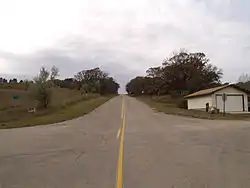 Street in Logan | |
 Logan, North Dakota | |
| Coordinates: 48°09′21″N 101°09′59″W / 48.15583°N 101.16639°W | |
| Country | United States |
| State | North Dakota |
| County | Ward |
| Area | |
| • Total | 1.47 sq mi (3.81 km2) |
| • Land | 1.46 sq mi (3.78 km2) |
| • Water | 0.01 sq mi (0.03 km2) |
| Elevation | 1,686 ft (514 m) |
| Population (2020) | |
| • Total | 247 |
| • Density | 169.29/sq mi (65.37/km2) |
| Time zone | UTC-6 (CST) |
| • Summer (DST) | UTC-5 (CDT) |
| ZIP Code | 58701 |
| Area code | 701 |
| GNIS feature ID | 2584350[2] |
Logan is a census-designated place and unincorporated community in Ward County, North Dakota, United States. Its population was 247 as of the 2020 census.[3]
Demographics
| Census | Pop. | Note | %± |
|---|---|---|---|
| 2010 | 194 | — | |
| 2020 | 247 | 27.3% | |
| U.S. Decennial Census[4] 2020 Census[3] | |||
2020 census
At the census of 2020, there were 247 people in 105 households. There were 95 housing units.
References
- ↑ "ArcGIS REST Services Directory". United States Census Bureau. Retrieved September 20, 2022.
- 1 2 U.S. Geological Survey Geographic Names Information System: Logan, North Dakota
- 1 2 "Explore Census Data". United States Census Bureau. Retrieved May 22, 2022.
- ↑ United States Census Bureau. "Census of Population and Housing". Retrieved October 23, 2013.
Municipalities and communities of Ward County, North Dakota, United States | ||
|---|---|---|
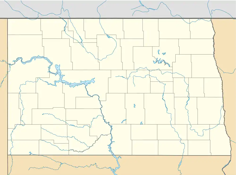
| Cities |  Map of North Dakota highlighting Ward County | |
| Townships |
| |
| CDPs | ||
| Other community | ||
| Indian reservation | ||
| Footnotes | ‡This populated place also has portions in an adjacent county or counties | |
This article is issued from Wikipedia. The text is licensed under Creative Commons - Attribution - Sharealike. Additional terms may apply for the media files.