Lohitpur | |
|---|---|
Village | |
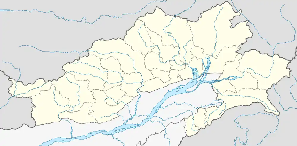
 Lohitpur Map of Arunachal Pradesh  Lohitpur Lohitpur (India) | |
| Coordinates: 28°00′16″N 96°12′29″E / 28.00446°N 96.20793°E | |
| Country | |
| State | Arunachal Pradesh |
| District | Lohit |
| District | Lohit |
| Area | |
| • Total | 1,440 ha (3,560 acres) |
| Elevation | 503 m (1,650 ft) |
| Population (2011) | |
| • Total | 1,514 |
| • Density | 110/km2 (270/sq mi) |
| Languages | |
| • Official | English |
| Time zone | UTC+5:30 (IST) |
| Postal code | 792001[1] |
| STD Code | 03804 |
| Vehicle registration | AR-11 |
Lohitpur is a village in Lohit district, Arunachal Pradesh, India.[2] As per 2011 Census of India, Lohitpur has a population of 1,514 people including 1,029 males and 485 females, with a literacy rate of 89.54%.[3][4]
Lohitpur village is a high-altitude area.[5] Some scenes of Hindi movie Koyla were shot in Lohitpur.[6]
References
- ↑ "LOHITPUR Pin Code - 792001, Tezu All Post Office Areas PIN Codes, Search LOHIT Post Office Address". news.abplive.com. Retrieved 15 July 2022.
- ↑ "Lohitpur Village | Map of Lohitpur Village in Tezu Circle Tehsil, Lohit of Arunachal Pradesh". mapsofindia.com. Retrieved 15 July 2022.
- ↑ "Lohitpur Population (2021/2022), Village in Tezu Subdivision". indiagrowing.com. Retrieved 15 July 2022.
- ↑ "PCA: Primary Census Abstract C.D. Block wise, Arunachal Pradesh - District Lohit - 2011". India - PCA: Primary Census Abstract C.D. Block wise, Arunachal Pradesh - District Lohit - 2011. Archived from the original on 17 July 2022. Retrieved 17 July 2022.
- ↑ "Himveers of ITBP practice yoga at high altitudes in Himalayas". The Statesman. The Statesman. 21 June 2022. Retrieved 15 July 2022.
- ↑ Kadian, Sushila (2009). Tales form My Diary. New Delhi, India: Sanbun Publishers. p. 17. ISBN 978-8190825993.
This article is issued from Wikipedia. The text is licensed under Creative Commons - Attribution - Sharealike. Additional terms may apply for the media files.