Lopyan Crag (Bulgarian: Лопянски камък, ‘Lopyanski Kamak’ \lo-'pyan-ski 'ka-m&k\) is the narrow rocky hill extending 1.7 km in NW-SE direction and rising to 523 m[1] in Erul Heights on Trinity Peninsula in Graham Land, Antarctica. It is surmounting Russell East Glacier to the south.
The hill is named after the settlement of Lopyan in Western Bulgaria.
Location
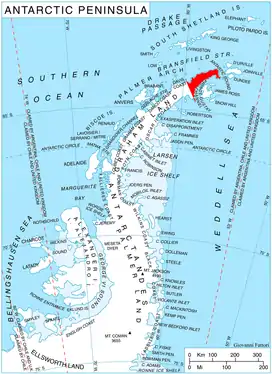
Lopyan Crag is located at 63°42′11″S 58°23′29″W / 63.70306°S 58.39139°W, which is 1.98 km southeast of Gigen Peak, 2.27 km southwest of Coburg Peak, 4.96 km west by north of Panhard Nunatak, 2.64 km northeast of Siniger Nunatak and 3.63 km east of Roman Knoll. German-British mapping in 1996.
Maps
- Trinity Peninsula. Scale 1:250000 topographic map No. 5697. Institut für Angewandte Geodäsie and British Antarctic Survey, 1996.
- Antarctic Digital Database (ADD). Scale 1:250000 topographic map of Antarctica. Scientific Committee on Antarctic Research (SCAR). Since 1993, regularly updated.
Notes
- ↑ Reference Elevation Model of Antarctica. Polar Geospatial Center. University of Minnesota, 2019
References
- Lopyan Crag. SCAR Composite Antarctic Gazetteer
- Bulgarian Antarctic Gazetteer. Antarctic Place-names Commission. (details in Bulgarian, basic data in English)
External links
- Lopyan Crag. Copernix satellite image
This article includes information from the Antarctic Place-names Commission of Bulgaria which is used with permission.