Los Fayos | |
|---|---|
 | |
 Flag  Seal | |
 Los Fayos  Los Fayos  Los Fayos | |
| Coordinates: 41°53′N 1°47′W / 41.883°N 1.783°W | |
| Country | |
| Autonomous community | |
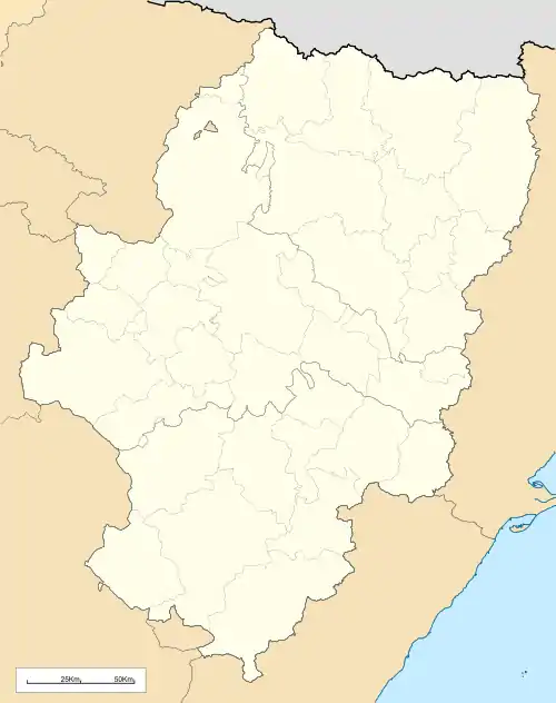
| Province | Zaragoza |
| Comarca | Tarazona y el Moncayo |
| Area | |
| • Total | 3.88 km2 (1.50 sq mi) |
| Population (2018)[1] | |
| • Total | 141 |
| • Density | 36/km2 (94/sq mi) |
| Time zone | UTC+1 (CET) |
| • Summer (DST) | UTC+2 (CEST) |
.jpg.webp)
View of Los Fayos
Los Fayos is a municipality located in the province of Zaragoza, Aragon, Spain. According to the 2010 census the municipality has a population of 153 inhabitants.[2] Its postal code is 50513.
The town is built below a red cliff.
References
- ↑ Municipal Register of Spain 2018. National Statistics Institute.
- ↑ Instituto Nacional de Estadística (Spain)
External links
Wikimedia Commons has media related to Los Fayos.
This article is issued from Wikipedia. The text is licensed under Creative Commons - Attribution - Sharealike. Additional terms may apply for the media files.