| Lower Tamar Lake | |
|---|---|
 Lower Tamar Lake | |
| Location | England |
| Coordinates | 50°52′23″N 4°25′30″W / 50.873°N 4.425°W |
| Type | reservoir |

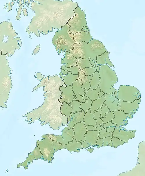
Lower Tamar Lake is a 35 acre reservoir located on the Devon-Cornwall border, in England, near Thurdon.[1]
It was constructed in the 1820s to supply water to the Bude Canal. It is now a nature reserve. It is also a popular fishing lake.
The reservoir has been formed by damming the River Tamar. To the north (upstream) is the newer Upper Tamar Lake,[1] a reservoir used for public water supply.
The county boundary originally ran along the (natural) route of the River Tamar, but was re-aligned along a (now disused) re-routing of the river to the reservoir's west side, placing the lake in Devon.[1]
There are several short walks at the lake, such as the aqueduct trail. This is a path following the canal that reaches a small building showing the history of the lake. Another walk that can be taken is towards upper lake. this route is also popular for cyclists.
References
- 1 2 3 Ordnance Survey mapping
External links
- Bude Canal and Harbour Society 1904 map showing the reservoir, the then route of the Tamar and the feeder to the Bude Canal