| Luccombe Bay | |
|---|---|
 Luccombe Bay looking to the north | |
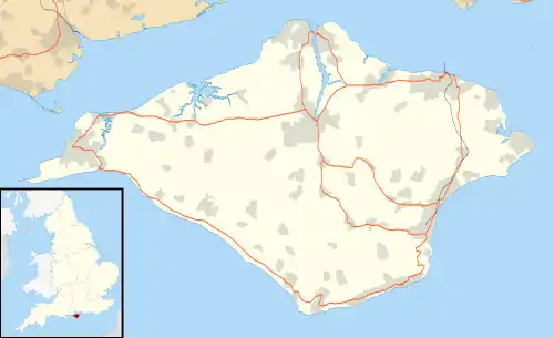
 Luccombe Bay Location within the Isle of Wight | |
| Civil parish | |
| Ceremonial county | |
| Region | |
| Country | England |
| Sovereign state | United Kingdom |
| UK Parliament | |
Luccombe Bay is a bay on the south-east coast of the Isle of Wight, England. It lies to the east of Luccombe Village from which it takes its name. It faces south-east towards the English Channel, its shoreline is 2⁄3 mile (1.1 km) in length.[1] It consists of a predominantly sand and shingle beach lined with sea cliffs which range from 200 to 280 feet (60 to 85 m) in height.[2] It stretches from Horse Ledge in the north to Bordwood Ledge in the south. The sea bottom is a mixture of mud and rocks.
Along the top of the cliffs which line the bay is the site of the National trust maintained 4+1⁄2-mile (7.2 km) Luccombe and the Landslip Walk.
The bay is best viewed from Luccombe Chine which descends to the beach about two-thirds of the way along the bay. There was a footpath down a set of wooden steps to the beach from the coastal path, but these are currently closed due to damage from landslips. A small fishing community existed at the foot of the Chine on the bay until it was destroyed in the Great Landslip of 1910. The area is the site of a lot of erosion and cliff retreat (though no cliff failures), with a loss of around a foot (30 cm) per year.[2]
References
- ↑ Google (5 September 2018). "Luccombe Bay" (Map). Google Maps. Google. Retrieved 5 September 2018.
- 1 2 "Geotechnical Study Area G2 Luccombe landslide, Ventnor Undercliff, Isle of Wight, UK" (PDF). risknat.org.