Lutkun
Луткун | |
|---|---|
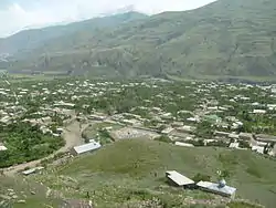
 View of Lutkun | |
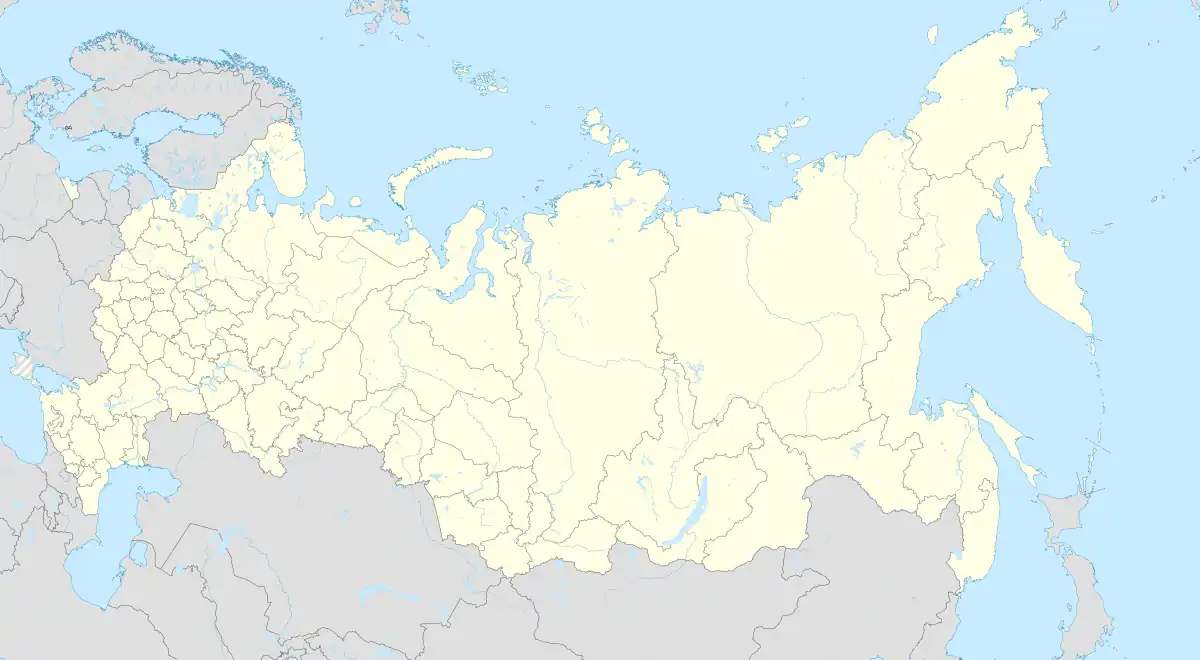
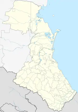
Location of Lutkun | |
 Lutkun Location of Lutkun  Lutkun Lutkun (Republic of Dagestan) | |
| Coordinates: 41°28′54″N 47°41′05″E / 41.48167°N 47.68472°E | |
| Country | Russia |
| Federal subject | Dagestan |
| Administrative district | Akhtynsky District |
| Elevation | 1,200 m (3,900 ft) |
| Population | |
| • Total | 3,200 |
| Time zone | UTC+3 (MSK |
| Postal code(s)[3] | 368740 |
| OKTMO ID | 82606445101 |
Lutkun (Lezgian: Луткун) is a village in Akhtynsky District of Dagestan. It is one of the most ancient and large settlements in the Samur valley, the second largest in Akhtynsky area.
History
The ancient history of the village, not preserved, the first fortress village was founded in the 2nd century AD on the hill, in the old, historical part of the village. In the old village, surrounded by a high stone wall with two gates in the 12th-century madrasah was built, and even earlier, in the 10th-century mosque. On 9 August 2008, there was a solemn celebration of the 2000th anniversary of Lutkun.
Population
In 2010, there were 3200 people. In 2002, there were 3059 people, (746 families-households). People village are lezgins nationality and Muslim-Sunni religion.
Sport
In 2011 FC Samur won the Cup in South Daghestan football.
References
- ↑ Russian Federal State Statistics Service (2011). Всероссийская перепись населения 2010 года. Том 1 [2010 All-Russian Population Census, vol. 1]. Всероссийская перепись населения 2010 года [2010 All-Russia Population Census] (in Russian). Federal State Statistics Service.
- ↑ "Об исчислении времени". Официальный интернет-портал правовой информации (in Russian). June 3, 2011. Retrieved January 19, 2019.
- ↑ Почта России. Информационно-вычислительный центр ОАСУ РПО. (Russian Post). Поиск объектов почтовой связи (Postal Objects Search) (in Russian)