| Lysterfield South Melbourne, Victoria | |||||||||||||||
|---|---|---|---|---|---|---|---|---|---|---|---|---|---|---|---|
 Lysterfield South | |||||||||||||||
| Coordinates | 37°56′56″S 145°15′36″E / 37.949°S 145.260°E | ||||||||||||||
| Population | 994 (2021 census)[1] | ||||||||||||||
| • Density | 216.1/km2 (560/sq mi) | ||||||||||||||
| Postcode(s) | 3156 | ||||||||||||||
| Elevation | 155 m (509 ft) | ||||||||||||||
| Area | 4.6 km2 (1.8 sq mi) | ||||||||||||||
| Location | |||||||||||||||
| LGA(s) | City of Casey | ||||||||||||||
| State electorate(s) | Rowville | ||||||||||||||
| Federal division(s) | Bruce | ||||||||||||||
| |||||||||||||||
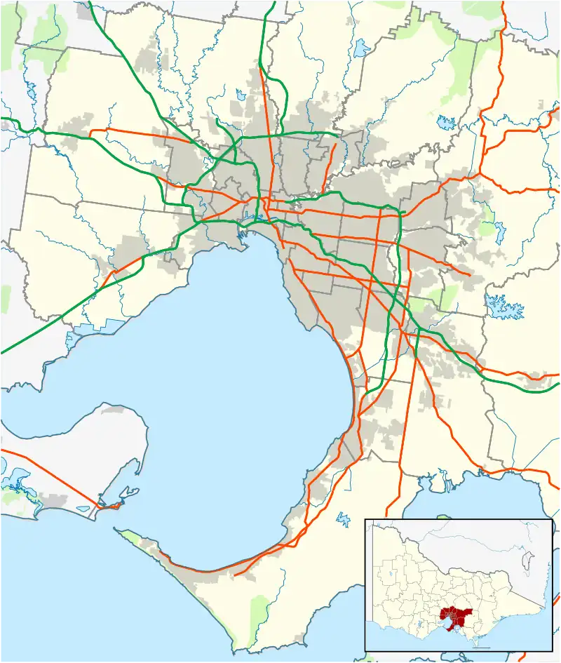
Lysterfield South is an outer suburb in Melbourne, Victoria, Australia, 30 km south-east of Melbourne's Central Business District, located within the City of Casey local government area. Lysterfield South recorded a population of 994 at the 2021 census.[1]
It is notable for containing Churchill National Park which can be entered via Army Road, from Churchill Park Drive.
History
Lysterfield South was originally inhabited by the Wurundjeri tribe of the Kulin nation.
The area was first settled by European settlers in 1838,[2] with it and its surrounding suburbs originally part of Narre Warren North, which it now borders. The development of Lysterfield South is closely linked with that of its neighbouring suburbs Lysterfield and Rowville.
References
- 1 2 Australian Bureau of Statistics (28 June 2022). "Lysterfield South (Suburbs and Localities)". 2021 Census QuickStats. Retrieved 10 July 2022.
- ↑ "Lysterfield and Lysterfield South | Victorian Places". www.victorianplaces.com.au. Retrieved 7 May 2021.
This article is issued from Wikipedia. The text is licensed under Creative Commons - Attribution - Sharealike. Additional terms may apply for the media files.