Mała Huta | |
|---|---|
Village | |
 Mała Huta | |
| Coordinates: 54°6′1″N 22°59′19″E / 54.10028°N 22.98861°E | |
| Country | |
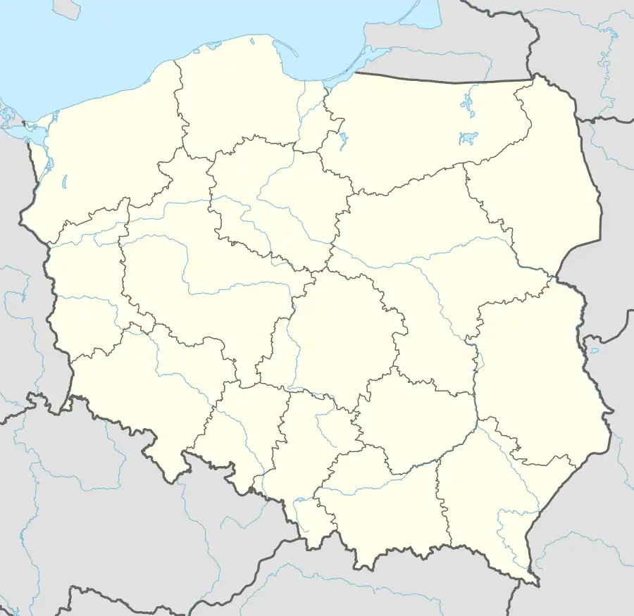
| Voivodeship | Podlaskie |
| County | Suwałki |
| Gmina | Suwałki |
| Population (approx.) | 210 |
Mała Huta [ˈmawa ˈxuta] is a village in the administrative district of Gmina Suwałki, within Suwałki County, Podlaskie Voivodeship, in north-eastern Poland.[1] It lies approximately 5 kilometres (3 mi) north-east of Suwałki and 110 km (68 mi) north of the regional capital Białystok.
References
This article is issued from Wikipedia. The text is licensed under Creative Commons - Attribution - Sharealike. Additional terms may apply for the media files.