Maaungoodhoo | |
|---|---|
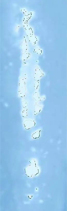 Maaungoodhoo Location in Maldives | |
| Coordinates: 06°04′10″N 73°16′52″E / 6.06944°N 73.28111°E | |
| Country | Maldives |
| Geographic atoll | North Miladhummadulhu Atoll |
| Administrative atoll | Shaviyani Atoll |
| Distance to Malé | 210.98 km (131.10 mi) |
| Government | |
| • Council President | Adam Saleem |
| Dimensions | |
| • Length | 0.650 km (0.404 mi) |
| • Width | 0.500 km (0.311 mi) |
| Population (2014)[1] | |
| • Total | 802 (including foreigners) |
| Time zone | UTC+05:00 (MST) |
Maaungoodhoo (Dhivehi: މާއުނގޫދޫ) is one of the inhabited islands of the Shaviyani Atoll administrative division and geographically part of the Miladhummadulhu Atoll in the Maldives.
Geography
The island is 210.98 km (131 mi; 114 nmi) north of the country's capital, Malé.[2]
Demography
| Year | Pop. | ±% |
|---|---|---|
| 2006 | 795 | — |
| 2014 | 774 | −2.6% |
| 2006-2014: Census populations Source: [3] | ||
References
- ↑ "Table PP5: Resident Population by sex, nationality and locality (administrative islands), 2014" (PDF). Population and Households Census 2014. National Bureau of Statistics. p. 33. Retrieved 10 August 2018.
- ↑ "Coordinate Distance Calculator". Boulter.com. Retrieved 10 August 2018.
- ↑ "Table 3.3: Total Maldivian Population by Islands" (PDF). National Bureau of Statistics. Retrieved 10 August 2018.
External links
This article is issued from Wikipedia. The text is licensed under Creative Commons - Attribution - Sharealike. Additional terms may apply for the media files.