| Mad River | |
|---|---|
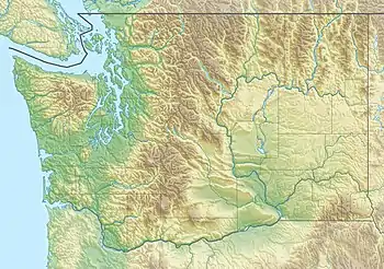 Location of the mouth of the Mad River in Washington  Mad River (Washington) (the United States) | |
| Location | |
| Country | United States |
| State | Washington |
| County | Chelan |
| Physical characteristics | |
| Source | Cascade Range |
| • coordinates | 47°56′30″N 120°38′52″W / 47.94167°N 120.64778°W[1] |
| Mouth | Entiat River |
• coordinates | 47°44′9″N 120°21′48″W / 47.73583°N 120.36333°W[1] |
| Basin size | 92.4 sq mi (239 km2)[2] |
| Discharge | |
| • location | river mile 0.4 at Ardenvoir[2] |
| • average | 76.7 cu ft/s (2.17 m3/s)[2] |
| • minimum | 9.0 cu ft/s (0.25 m3/s) |
| • maximum | 659 cu ft/s (18.7 m3/s) |
The Mad River is a river in the U.S. state of Washington. It rises in the Cascade Mountains and flows southeast to join the Entiat River. It is part of the Columbia River basin, being a tributary of the Entiat River, which empties into the Columbia River.
See also
References
This article is issued from Wikipedia. The text is licensed under Creative Commons - Attribution - Sharealike. Additional terms may apply for the media files.