Madhuvanahalli
jenukadinahalli | |
|---|---|
village | |
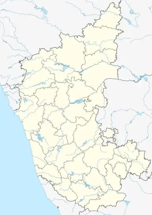 Madhuvanahalli Location in Karnataka, India  Madhuvanahalli Madhuvanahalli (India) | |
| Coordinates: 12°09′N 77°06′E / 12.15°N 77.10°E | |
| Country | |
| State | Karnataka |
| District | Chamarajanagar |
| Talukas | Kollegal |
| Government | |
| • Body | Gram panchayat |
| Population (2001) | |
| • Total | 7,866 |
| Languages | |
| • Official | Kannada |
| Time zone | UTC+5:30 (IST) |
| PIN | 571801 |
| Telephone code | 08224 |
| ISO 3166 code | IN-KA |
| Vehicle registration | ka |
| Nearest city | kollegal |
| Lok Sabha constituency | chamarajanagar |
| Vidhan Sabha constituency | hanur |
| Website | karnataka |
Madhuvanahalli is a village in the southern state of Karnataka, India.[1][2] It is located in the Kollegal taluk of Chamarajanagar district in Karnataka.
Demographics
As of 2001 India census, Madhuvanahalli had a population of 7866 with 4023 males and 3843 females.[1]
See also
References
- 1 2 Village code= 2928100 "Census of India : Villages with population 5000 & above". Registrar General & Census Commissioner, India. Archived from the original on 8 December 2008. Retrieved 18 December 2008.
- ↑ "Yahoomaps India :". Archived from the original on 18 December 2008. Retrieved 18 December 2008. Madhuvanahalli, Chamarajanagar, Karnataka
External links
District HQ: Chamarajanagar | |
| Villages and Towns |
|
This article is issued from Wikipedia. The text is licensed under Creative Commons - Attribution - Sharealike. Additional terms may apply for the media files.