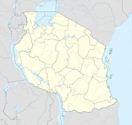
Madunga | |
|---|---|
Ward | |
 Madunga Madunga ward | |
| Coordinates: 04°08′23″S 35°28′57″E / 4.13972°S 35.48250°E | |
| Country | Tanzania |
| Region | Manyara |
| District | Babati |
| Population (2012) | |
| • Total | 16,216 |
| Time zone | UTC+03 (EAT) |
Madunga is an administrative ward in the Kongwa district of the Dodoma Region of Tanzania. According to the 2002 census, the ward has a total population of 16,216.[1]
References
- ↑ "2002 Population and Housing Census General Report". Government of Tanzania. Archived from the original on 2006-06-18. Retrieved 2009-04-30.
4°09′S 35°25′E / 4.150°S 35.417°E
This article is issued from Wikipedia. The text is licensed under Creative Commons - Attribution - Sharealike. Additional terms may apply for the media files.