| Mae Charim National Park | |
|---|---|
| อุทยานแห่งชาติแม่จริม | |
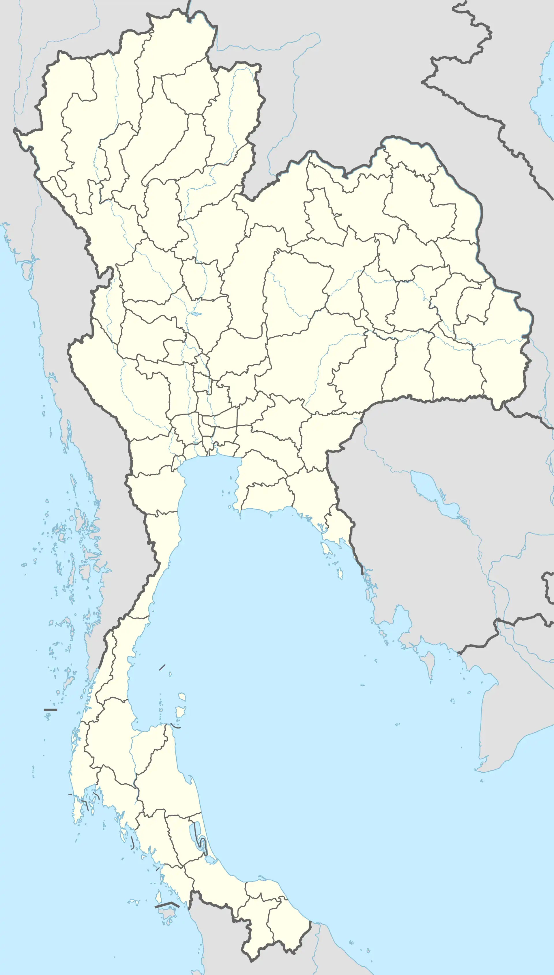 Location within Thailand | |
| Location | Thailand |
| Nearest city | Nan |
| Coordinates | 18°36′N 100°58′E / 18.600°N 100.967°E |
| Area | 432 km2 (167 sq mi) |
| Established | 2007 |
| Visitors | 10,086 (in 2019) |
| Governing body | Department of National Park, Wildlife and Plant Conservation |
Mae Charim National Park (Thai: อุทยานแห่งชาติแม่จริม), also known as Mae Jarim,[1] is a protected area in the Luang Prabang Range, Nan Province, Northern Thailand. The Wa River, a popular river for white water rafting between July and December, flows through the park area.[2] The park was established on 6 July 2007 with an area of 270,000 rai ~ 432 square kilometres (167 sq mi).[3] Mae Charim National Park is part of the Luang Prabang montane rain forests ecoregion.[4]
1,652 m high Doi Khun Lan is the highest peak within the park perimeter.[5] There are said to be yetis in the area.[6]
See also
References
- ↑ TH010 Mae Jarim
- ↑ "Nan Province & Nam Wa River - Sop Mang Village to Mae Charim National Park". Archived from the original on 2014-10-07. Retrieved 2012-01-11.
- ↑
"ข้อมูลพื้นที่อุทยานแห่งชาติ ที่ประกาศในราชกิจจานุบกษา 133 แห่ง" [National Park Area Information published in the 133 Government Gazettes]. Department of National Parks, Wildlife and Plant Conservation (in Thai). December 2020. Retrieved 1 November 2022, no 106
{{cite web}}: CS1 maint: postscript (link) - ↑ Luang Prabang montane rain forests
- ↑ Mae Charim National Park - Bangkok Post
- ↑ The yetis of Northern Thailand
External links
This article is issued from Wikipedia. The text is licensed under Creative Commons - Attribution - Sharealike. Additional terms may apply for the media files.