Magdalena Jaltepec | |
|---|---|
Municipality and town | |
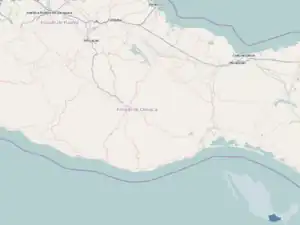
 Magdalena Jaltepec Location in Mexico  Magdalena Jaltepec Magdalena Jaltepec (Mexico) | |
| Coordinates: 17°19′N 97°13′W / 17.317°N 97.217°W | |
| Country | |
| State | Oaxaca |
| Area | |
| • Total | 184.99 km2 (71.43 sq mi) |
| Elevation | 2,020 m (6,630 ft) |
| Population (2010) | |
| • Total | 3,313 |
| [2] | |
| Time zone | UTC-6 (Central) |
Magdalena Jaltepec is a town and municipality in Oaxaca in southwestern Mexico. The municipality covers an area of 184.99 km2. It is part of the Nochixtlán District in the southeast of the Mixteca Region.
As of 2005, the municipality had a total population of 3,463.[1]
The community's 16th-century church boasts a number of colonial-era polychrome and other santos (statues of Roman Catholic saints).[3]
See also
References
- 1 2 "Magdalena Jaltepec". Enciclopedia de los Municipios de México (in Spanish). Instituto Nacional para el Federalismo y el Desarrollo Municipal. Archived from the original on 28 January 2007. Retrieved 6 March 2021.
- ↑ "Municipal Summary: Municipality of Magdalena Jaltepec" (in Spanish). Retrieved 6 March 2021.
- ↑ "Santos in Oaxaca's Ancient Churches: Santa Magdalena Jaltepec". Archived from the original on 20 July 2012. Retrieved 6 March 2021.
This article is issued from Wikipedia. The text is licensed under Creative Commons - Attribution - Sharealike. Additional terms may apply for the media files.