A02 Magome Station 馬込駅 | |||||||||||
|---|---|---|---|---|---|---|---|---|---|---|---|
 Exit, 2010 | |||||||||||
| General information | |||||||||||
| Location | 2-31-9 Kitamagome, Ōta City, Tokyo Japan | ||||||||||
| Operated by | |||||||||||
| Line(s) | A Asakusa Line | ||||||||||
| Platforms | 1 island platform | ||||||||||
| Tracks | 2 | ||||||||||
| Construction | |||||||||||
| Structure type | Underground | ||||||||||
| Other information | |||||||||||
| Station code | A02 | ||||||||||
| History | |||||||||||
| Opened | 15 November 1968 | ||||||||||
| Services | |||||||||||
| |||||||||||
| Location | |||||||||||
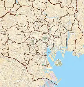
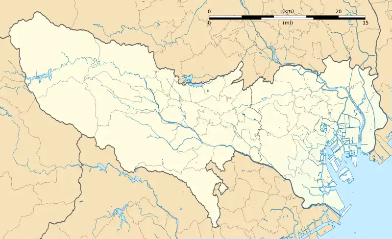
 A02 Magome Station Location within Special wards of Tokyo  A02 Magome Station A02 Magome Station (Tokyo Bay and Bōsō Peninsula)  A02 Magome Station A02 Magome Station (Tokyo)  A02 Magome Station A02 Magome Station (Japan) | |||||||||||
Magome Station (馬込駅, Magome-eki) is a subway station on the Toei Asakusa Line, operated by the Tokyo Metropolitan Bureau of Transportation. It is located in Ōta, Tokyo, Japan. Its number is A-02.
Station layout
Magome Station is composed of a singular island platform serving two tracks. Platform 1 is for passengers bound for Nishi-magome, whereas Platform 2 is for those traveling in the opposite direction toward Sengakuji and Oshiage.
Platforms
| 1 | A Asakusa Line | for Nishi-magome |
| 2 | A Asakusa Line | for Sengakuji, Nihombashi, and Oshiage KS Keisei Main Line for Aoto, Keisei Takasago, Keisei Sakura, Keisei Narita, and Narita Airport (Terminal 2·3 and Terminal 1) HS Hokusō Line for Imba Nihon-idai KS Narita Sky Access Line for Narita Airport SR Shibayama Railway Line for Shibayama-Chiyoda |
 Ticket concourse, 2007
.jpg.webp) A "little free library" in the shape of a Toei 5300 series at the ticket concourse
A "little free library" in the shape of a Toei 5300 series at the ticket concourse The platform in 2017
 Exit in 2007
History
Magome opened on November 15, 1968 as a station on Toei Line 1. In 1978, the line took its present name.
Surrounding area
The station serves the Kita Magome neighborhood. Nearby are a public library, and a Ricoh facility.
Wikimedia Commons has media related to Magome Station.
35°35′47″N 139°42′43″E / 35.5963°N 139.7119°E
This article is issued from Wikipedia. The text is licensed under Creative Commons - Attribution - Sharealike. Additional terms may apply for the media files.