| Mahlac River | |
|---|---|
 | |
| Location | |
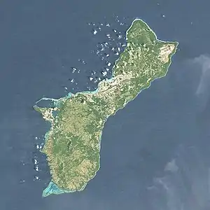
| Country | Guam |
| Physical characteristics | |
| Mouth | |
• coordinates | 13°21′08″N 144°43′46″E / 13.3522222°N 144.7294444°E |
The Mahlac River is a river stream in the United States territory of Guam.[1] The river is at a elevation of 98 feet at 13° 21' 08" N 144° 43' 46" E. The mahlac river lies nearby the fena valley reserve.[2]
See also
References
- ↑ U.S. Geological Survey Geographic Names Information System: Mahlac River
- ↑ "Mahlac River, United States - Geographical Names, map, geographic coordinates". geographic.org. Retrieved 2022-06-09.
This article is issued from Wikipedia. The text is licensed under Creative Commons - Attribution - Sharealike. Additional terms may apply for the media files.